This forest circuit takes you to discover the blue jewel of the department: Lake Bouchet. Set off on the shores of the volcanic maar then gain height to embrace the Devès, the largest basaltic plateau in France.
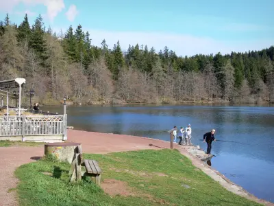
Lake Bouchet
This forest circuit takes you to discover the blue jewel of the department: Lake Bouchet. Set off on the shores of the volcanic maar then gain height to embrace the Devès, the largest basaltic plateau in France.
| Department | Haute-Loire |
|---|---|
| Departure municipality | Cayres |
| Outing type | Hike |
| Difficulty | Easy |
| Duration | 1:30 |
| Recommended period | from january to december |
| Kilometres | 5 km |
| Altitude upon departure | 1230m |
| Change in altitude | 165m |
Lac du Bouchet (Cayres), 18 km south-west of Puy-en-Velay.
Parking: At the entrance to the site, Très Regard car park, Lac du Bouchet site.
From the site house, reach the crossroads and take the road to the Croix de la Chèvre for 50 m. Then take the path on the left which enters the woods. The path climbs into the undergrowth and reaches a fork: continue to the right. Reach a wider path; follow it on the right. The narrow path winds through the woods then joins a wide path.
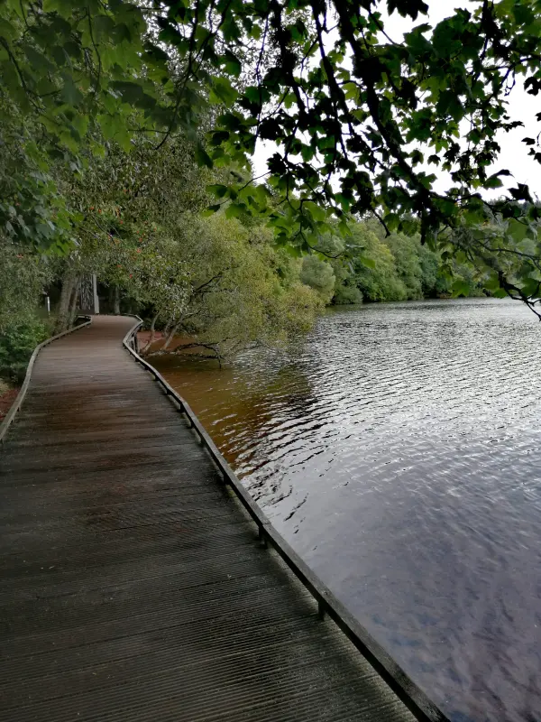
Join the road on the right at the cross of the Goat. Take the stairs straight ahead, which join the road again. Continue down the path to the right. Cut the road and go straight down the grassy flow to reach the edge of Lake Bouchet at the beach. Follow the lakeside path on the left.
At a clearing, leave the covered way to the lake, going up to the left. Quickly reach a fork.
Continue uphill to the right to a fork. On the right, access to the Garou barrel.
Finish the ascent by the path on the left. At the top (edge of the crater), the path joins a fitness trail; follow it to the right at the crest until the road.
Go down the path on the right to find the edge of the lake. Then take the patrol path on the left for 400 m and discover a path on the left.
Take this path on the left. Come out onto a road; follow it to the left, then turn right to find the start.