


The highest point in Martinique at 1,397 metres above sea level, the Pelée mountain in the north of the island is a destination highly prized by hikers.
Also known as Mount Pelée, this active volcano last erupted in 1929. It also produced a devastating eruption on 8 May 1902, reducing the town of Saint-Pierre to ashes and killing 30,000 in just a few minutes. This catastrophe has since lent its name to an unpredictable and violent type of volcanic eruption known as a Peléan eruption.
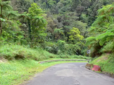
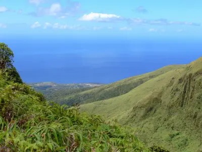
The Pelée mountain volcano now lies quiet, closely monitored by Martinique's volcanology and seismology observatory. It offers nature-lovers some magnificent hiking trails with exceptional views. A climb up the mountain is a must for visitors to the area, and there are several routes of varying difficulty: the path starting at L'Aileron, the most commonly used (4h - 600 m change in altitude - 5 km); the path starting at Grande Savane (2h - 470 m change in altitude - 1.5 km); the path starting at Beauséjour (4h30 - 1,170 m change in altitude - 7.6 km); and the path starting at Désiles (4h30 - 1,220 m change in altitude - 8 km). Whichever you choose, pick a fine morning to climb up the volcano's slopes, and of course don't forget to bring water, a hat, rain gear and a jumper. Although the Pelée mountain is unfortunately often shrouded in clouds, hindering visibility in the area, on a clear day it offers superb views of Martinique and the sea. Lovers of awe-inspiring scenery will be thrilled!
Less athletic types can still explore the Pelée mountain in a more leisurely manner without getting tired, by visiting the Regional Volcano House at Le Morne-Rouge, an information and documentation centre devoted to volcanology.