Liven up your holidays!

Route des Crêtes clifftop road and Cap Canaille

Hikes & walks in Cassis

Route des Crêtes clifftop road and Cap Canaille - Hikes & walks in Cassis
7.8
50

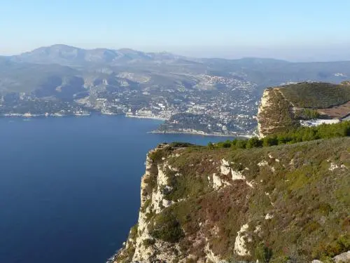
The Route des Crêtes clifftop road runs along the cliffs of Cap Canaille from the Gulf of Cassis to the Gulf of La Ciotat. Along the way, car parks offer easy parking and access on foot to the top of the cliffs overlooking the sea. A complete change of scenery, a magnificent view, a magical site! The Route des Crêtes should be avoided when there are high winds.
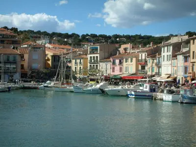
Description sheet

DepartmentBouches-du-Rhône
Departure municipalityCassis
Outing typeCar itinerary
DifficultyEasy
Duration1:30
Recommended periodfrom september to may
EnvironmentCoast
Kilometres30 km

Access

On the way out of Cassis, follow signs to Route des Crêtes.

Itinerary

Once you have reached the summit, take the paths which run along the cliff and Cap Canaille (highest sea cliff in Europe). Several panoramic viewpoints along the way. On one side the sea, on the other side the mountains. About 7 km before reaching La Ciotat, turn right at the stop sign towards Figuerolles cove, located at the bottom of the street outside the restaurant. 200 m further on, the two calanques of Mugel, behind La Ciotat shipyard. Return to the starting point along the same route.

Visit ideas nearby

By continuing to browse our site, you are agreeing to the use of cookies to improve your experience and make targeted offers.
Find out more and make settings
Your account