Liven up your holidays!

Hiking Monts Berthiand

Hikes & walks in Nurieux-Volognat

Hiking Monts Berthiand - Hikes & walks in Nurieux-Volognat
8.8
4

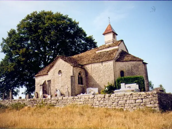
This hiking marked out in yellow starts at the exit of the village of Nurieux. The path takes the direction of the villages of Volognat and Peyriat which offer pretty views over the valley of Oignin. After going around the village of Ceignes, the trail crosses Etables then joins the Marsh des Lèches, before returning to Volognat. Topo guide on sale at the Tourist Office of Izernore and Monts Berthiand
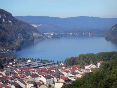
Description sheet

DepartmentAin
Departure municipalityNurieux-Volognat
Outing typeHike
DifficultyEasy
Duration6:20
Kilometres20 km
Altitude upon departure482m
Change in altitude517m

Access

Depart from the town of Nurieux-Volognat, latitude 46.1835500 (N 46° 11’ 1”), longitude 5.5256700 (E 5° 31’ 32”)

Itinerary

Visit ideas nearby

By continuing to browse our site, you are agreeing to the use of cookies to improve your experience and make targeted offers.
Find out more and make settings
Your account