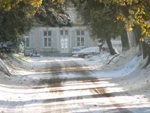
The village is located 3 km from Dole (sub-prefecture of Jura). It is crossed by the "major road" Paris-Geneva, also called white road, the former national 73 and became departmental 405. An ancient road called "grabbed" joined the R & D center of the village.
Villette-lès-Dole counted 3 clods feudal Moss, the Préssagne and that of Emard. A mound, appearing in any document, except a magazine, indicates the existence of a fourth mound said to "lower court" already spotted on the ground in 1812 and confirmed in 1978 during an aerial survey.
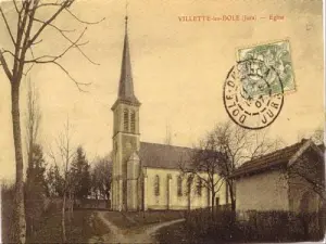
The oldest title naming Villette date from 1232.
Several fires destroyed the village in 1636, 1668, only 14 houses remained intact.
The location of the village gave importance during the Second World War, with the line of demarcation Parcey.
Villette-lès-Dole experience a steady population (402 in 1847, 299 in 1911) until 1953, when the increase is due to reach in 1990 a maximum of 735 inhabitants.