
Favourite
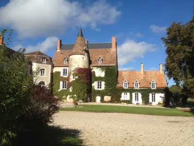
Gargilesse-Dampierre
| Municipality | Vigoux |
|---|---|
| Postcode | 36170 |
| Tourism label | ") |
| Latitude | 46.5106589 (N 46° 30’ 38”) |
| Longitude | 1.4856180 (E 1° 29’ 8”) |
| Altitude | From 168m to 269m |
| Surface area | 37.51 km² |
| Population | 469 inhabitants |
| Density | 12 inhabitants/km² |
| Prefecture | Châteauroux (42 km, 31 min) |
| Insee code | 36239 |
| Intercommunality | CC Brenne - Val de Creuse |
| Department | Indre |
| Territory | Berry |
| Region | Centre-Loire Valley |
| Celon | 2.4 km (5 min) |
|---|---|
| Chazelet | 3.9 km (7 min) |
| Bazaiges | 4.6 km (9 min) |
| Saint-Gilles | 7.1 km (9 min) |
| Baraize | 7.2 km (12 min) |
| Luzeret | 10.2 km (16 min) |
| Le Menoux | 10.3 km (16 min) |
| Parnac | 10.3 km (14 min) |
| Saint-Civran | 10.4 km (14 min) |
| Ceaulmont | 10.9 km (15 min) |
| Sacierges-Saint-Martin | 11.2 km (18 min) |
| Roussines | 11.7 km (16 min) |
| Saint-Benoît-du-Sault | 12.2 km (14 min) |
| Argenton-sur-Creuse | 12.2 km (14 min) |
| Gargilesse-Dampierre | 12.5 km (20 min) |
| Last name | Outing type | Difficulty | Duration | Departure municipality |
|---|---|---|---|---|
 | Car itinerary | Easy | 45 min | Saint-Sébastien (13.8 km) |
 | Hike | Easy | 2:30 | Thollet (30 km) |
 | Car itinerary | Easy | 1:00 | La Trimouille (34 km) |
 | Hike | Intermediate | 1:45 | La Trimouille (34 km) |
 | Car itinerary | Easy | 1:00 | La Trimouille (34 km) |