
Favourite
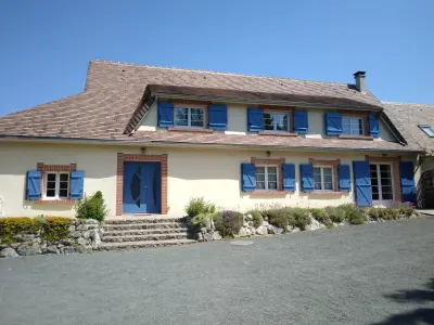
Nogent-le-Rotrou
| Municipality | Vaupillon |
|---|---|
| Postcode | 28240 |
| Latitude | 48.4594310 (N 48° 27’ 34”) |
| Longitude | 0.9932880 (E 0° 59’ 36”) |
| Altitude | From 174m to 219m |
| Surface area | 12.47 km² |
| Population | 461 inhabitants |
| Density | 36 inhabitants/km² |
| Prefecture | Chartres (41 km, 44 min) |
| Insee code | 28401 |
| Intercommunality | CC Terres de Perche |
| Department | Eure-et-Loir |
| Territory | Perche |
| Region | Centre-Loire Valley |
| La Loupe | 2.2 km (5 min) |
|---|---|
| Saint-Éliph | 3.7 km (8 min) |
| Meaucé | 4.3 km (8 min) |
| Fontaine-Simon | 6.3 km (9 min) |
| Saint-Victor-de-Buthon | 6.8 km (9 min) |
| Belhomert-Guéhouville | 7 km (12 min) |
| La Madeleine-Bouvet | 8.1 km (11 min) |
| Saint-Maurice-Saint-Germain | 8.3 km (13 min) |
| Montireau | 8.4 km (14 min) |
| Manou | 8.9 km (13 min) |
| Bretoncelles | 9 km (11 min) |
| Les Menus | 9.8 km (15 min) |
| Le Pas-Saint-l'Homer | 10 km (14 min) |
| Champrond-en-Gâtine | 10.7 km (14 min) |
| Last name | Activity type | Rate | City |
|---|---|---|---|
 | Sports sensations | 22 € to 75 € | Fontaine-Simon (6.1 km) |
| Last name | Outing type | Difficulty | Duration | Departure municipality |
|---|---|---|---|---|
 | Hike | Intermediate | 2:45 | Nonvilliers-Grandhoux (18.2 km) |
 | Hike | Easy | 3:25 | Saint-Longis (49 km) |
 | Village visit | Easy | 1:00 | Châteaudun (50 km) |
 | Hike | Easy | 3:00 | Châteaudun (50 km) |
 | Hike | Easy | 55 min | Bonnétable (53 km) |