
Favourite
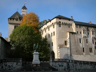
Chambéry
| Municipality | Thoiry |
|---|---|
| Postcode | 73230 |
| Latitude | 45.5896330 (N 45° 35’ 23”) |
| Longitude | 6.0297850 (E 6° 1’ 47”) |
| Altitude | From 458m to 1780m |
| Surface area | 17.75 km² |
| Population | 461 inhabitants |
| Density | 25 inhabitants/km² |
| Prefecture | Chambéry (13.4 km, 23 min) |
| Insee code | 73293 |
| Intercommunality | CA du Grand Chambéry |
| Department | Savoie |
| Territory | Alps |
| Region | Auvergne-Rhône-Alps |
| Puygros | 4.5 km (8 min) |
|---|---|
| Saint-Jean-d'Arvey | 4.7 km (9 min) |
| Curienne | 6.8 km (11 min) |
| Les Déserts | 9.1 km (15 min) |
| Saint-Alban-Leysse | 9.5 km (17 min) |
| Barby | 10.4 km (19 min) |
| La Thuile | 10.8 km (20 min) |
| Chignin | 11.2 km (20 min) |
| Aillon-le-Jeune | 11.2 km (18 min) |
| Bassens | 11.4 km (20 min) |
| Saint-Jeoire-Prieuré | 12.2 km (19 min) |
| La Ravoire | 12.5 km (22 min) |
| Barberaz | 12.8 km (23 min) |
| Challes-les-Eaux | 13 km (21 min) |
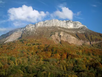
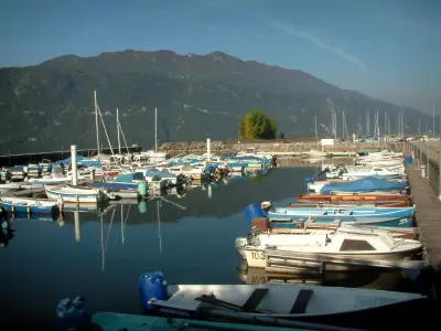
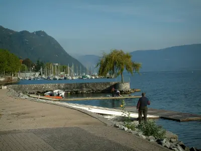
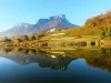
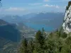
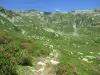
| Natural sites |
|---|
| Last name | Activity type | Rate | City |
|---|---|---|---|
 | Local flavours | 38 € to 120 € | Porte-de-Savoie (10.4 km) |
 | Sports sensations | 80 € to 150 € | Aix-les-Bains (14.8 km) |
 | Sports sensations | 72 € | Alby-sur-Chéran (25 km) |
 | Sports sensations | 90 € to 250 € | Doussard (26 km) |
 | Sports sensations | 85 € to 150 € | Doussard (26 km) |
| Last name | Outing type | Difficulty | Duration | Departure municipality |
|---|---|---|---|---|
 | Hike | Intermediate | 6:00 | Lathuile (23 km) |
 | Hike | Easy | 2:30 | Saint-Pierre-d'Entremont (24 km) |
 | Hike | Intermediate | 3:30 | Lathuile (25 km) |
 | Hike | Athletic | 6:00 | Le Haut-Bréda (30 km) |
 | Hike | Easy | 3:00 | La Léchère (31 km) |