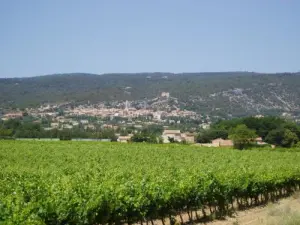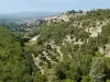


Saint-Saturnin-lès-Apt, rural basin Apt and the Luberon Regional Nature Park is located on the sunny side of the Monts de Vaucluse, facing the Luberon, with its steep slopes and valleys (350 to almost 1100 m above sea level) between the towns of Lioux and Villars.
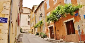
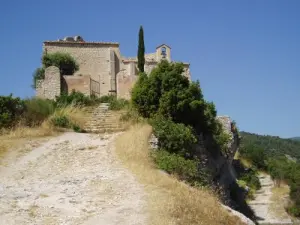
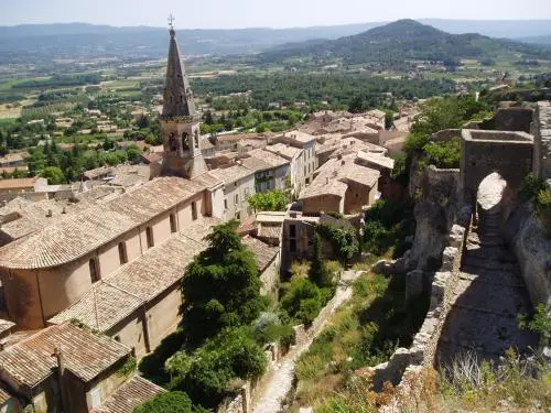
Sheltered from the Mistral in southern slope of the mountain, a rocky outcrop, overlooking the medieval village agricultural plain between Roussillon and Villars, interrupted by the hill Peréal.
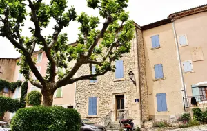
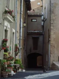
The traditional habitat is characterized, apart from the village, by thirty hamlets scattered across the farmland. Urbanization occurred during the second half of the 20th century is located between the productive farmland and mountain inaccessible and protected.
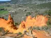
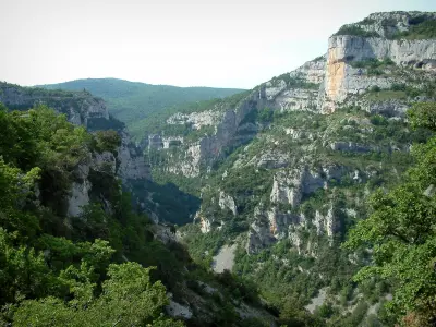
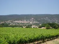
Third common Vaucluse by area, covering 7579 hectares Saint-Saturnin-lès-Apt: 1/3 is between 250 and 400 m and corresponds to the south; agricultural tradition and invested in housing over the centuries. Saint-Saturnin-lès-Apt has one of the largest cherry orchards that cover their white flowers in spring. It is also the country of the vine and wine but also its olive and olive oil flavored artichokes and almonds. The other two thirds, from 400 to 1100 m, corresponding to the forested mountain and the "altiplano" Sarraud the edge of the plateau de Sault (scrubland, oak, lavender, conifers).