

Favourite
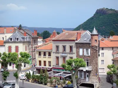
Massiac
| Municipality | Saint-Poncy |
|---|---|
| Postcode | 15500 |
| Latitude | 45.1636770 (N 45° 9’ 49”) |
| Longitude | 3.1873740 (E 3° 11’ 15”) |
| Altitude | From 599m to 1065m |
| Surface area | 40.37 km² |
| Population | 360 inhabitants |
| Density | 8 inhabitants/km² |
| Prefecture | Aurillac (83 km, 1:26) |
| Insee code | 15207 |
| Intercommunality | CC Hautes Terres Communauté |
| Department | Cantal |
| Territories | Auvergne, Massif Central |
| Region | Auvergne-Rhône-Alps |
| Saint-Mary-le-Plain | 4.6 km (10 min) |
|---|---|
| La Chapelle-Laurent | 6.3 km (8 min) |
| Vieillespesse | 6.7 km (10 min) |
| Lastic | 7.7 km (12 min) |
| Bonnac | 8 km (16 min) |
| Rézentières | 11.7 km (18 min) |
| Massiac | 12.2 km (18 min) |
| Celoux | 12.7 km (17 min) |
| Rageade | 13.9 km (23 min) |
| Mercoeur | 14.9 km (22 min) |
| Coren | 15.2 km (18 min) |
| Ally | 15.7 km (20 min) |
| Montchamp | 15.7 km (23 min) |
| Soulages | 16.9 km (24 min) |
| Last name | Activity type | Rate | City |
|---|---|---|---|
 | Sports sensations | 50 € to 350 € | Coltines (18.2 km) |
 | Sports sensations | 50 € to 60 € | Vieille-Brioude (21 km) |
 | Nature and the great outdoors | 40 € to 75 € | Albepierre-Bredons (29 km) |
| Last name | Outing type | Difficulty | Duration | Departure municipality |
|---|---|---|---|---|
 | Hike | Easy | 2:00 | Champagnac-le-Vieux (33 km) |
 | Hike | Intermediate | 3:05 | Saint-Jacques-des-Blats (37 km) |
 | Hike | Intermediate | 1:40 | Allègre (41 km) |
 | Hike | Easy | 1:30 | La Chaise-Dieu (43 km) |
 | Hike | Intermediate | 3:00 | La Chaise-Dieu (43 km) |


