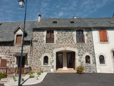


Favourite
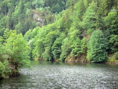
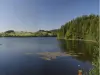
The Rhue gorges
| Municipality | Saint-Amandin |
|---|---|
| Postcode | 15190 |
| Latitude | 45.3435450 (N 45° 20’ 37”) |
| Longitude | 2.6949900 (E 2° 41’ 42”) |
| Altitude | From 577m to 1072m |
| Surface area | 31.89 km² |
| Population | 234 inhabitants |
| Density | 7 inhabitants/km² |
| Prefecture | Aurillac (77 km, 1:18) |
| Insee code | 15170 |
| Intercommunality | CC du Pays Gentiane |
| Department | Cantal |
| Territories | Auvergne, Massif Central |
| Region | Auvergne-Rhône-Alps |
| Condat | 7.2 km (9 min) |
|---|---|
| Trémouille | 7.9 km (12 min) |
| Lugarde | 10.6 km (16 min) |
| Riom-ès-Montagnes | 10.9 km (14 min) |
| Montboudif | 13.3 km (18 min) |
| Saint-Bonnet-de-Condat | 13.4 km (20 min) |
| Chanterelle | 14.1 km (16 min) |
| Marcenat | 14.6 km (17 min) |
| Marchastel | 15.2 km (24 min) |
| Apchon | 15.9 km (19 min) |
| Valette | 16.3 km (22 min) |
| Champs-sur-Tarentaine-Marchal | 16.4 km (21 min) |
| Collandres | 16.7 km (22 min) |
| Saint-Saturnin | 17 km (25 min) |
| Monuments |
|---|

| Last name | Activity type | Rate | City |
|---|---|---|---|
 | Sports sensations | 20 € | Lanobre (18.4 km) |
 | Nature and the great outdoors | 40 € to 75 € | Albepierre-Bredons (31 km) |
 | Sports sensations | 50 € to 350 € | Coltines (38 km) |
| Last name | Outing type | Difficulty | Duration | Departure municipality |
|---|---|---|---|---|
 | Hike | Intermediate | 2:30 | Saint-Genès-Champespe (8.7 km) |
 | Cycling itinerary | Intermediate | 40 min | Picherande (16.8 km) |
 | Hike | Intermediate | 1:00 | Besse-et-Saint-Anastaise (23 km) |
 | Hike | Intermediate | 2:00 | Veyrières (25 km) |
 | Hike | Easy | 45 min | Besse-et-Saint-Anastaise (26 km) |