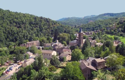
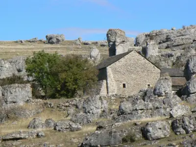
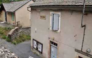
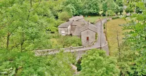
Rousses is located at the foot of Mount Aigoual and 15 km from Gard.


Favourite


Rousses is located at the foot of Mount Aigoual and 15 km from Gard.
| Municipality | Rousses |
|---|---|
| Postcode | 48400 |
| Latitude | 44.2058620 (N 44° 12’ 21”) |
| Longitude | 3.5875750 (E 3° 35’ 15”) |
| Altitude | From 660m to 1343m |
| Surface area | 22.38 km² |
| Population | 129 inhabitants |
| Density | 5 inhabitants/km² |
| Prefecture | Mende (55 km, 59 min) |
| Insee code | 48130 |
| Intercommunality | CC Gorges Causses Cévennes |
| Department | Lozère |
| Territories | Languedoc-Roussillon, Massif Central |
| Region | Occitanie |
| Vebron | 6.9 km (9 min) |
|---|---|
| Fraissinet-de-Fourques | 8.8 km (12 min) |
| Bassurels | 11.3 km (20 min) |
| Saint-André-de-Valborgne | 16.4 km (23 min) |
| Cans et Cévennes | 18.5 km (24 min) |
| Florac Trois Rivières | 19.5 km (26 min) |
| Barre-des-Cévennes | 19.9 km (27 min) |
| Gatuzières | 20 km (30 min) |
| Le Pompidou | 22 km (28 min) |
| Meyrueis | 25 km (36 min) |
| Bédouès-Cocurès | 25 km (32 min) |
| Saint-Sauveur-Camprieu | 26 km (38 min) |
| Saumane | 27 km (36 min) |
| Molezon | 29 km (42 min) |
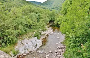
Gorges Tapoul for canyoning.
The via ferrata, very accessible family.
The second weekend of September: the raid Rousses : biking, running, orienteering.


| Last name | Activity type | Rate | City |
|---|---|---|---|
 | Sports sensations | 50 € to 125 € | Cazilhac (33 km) |
 | Sports sensations | 20 € to 45 € | Saint-Bauzille-de-Putois (36 km) |
 | Sports sensations | 35 € | La Canourgue (39 km) |
 | Sports sensations | 40 € | Millau (42 km) |
 | Nature and the great outdoors | 28 € to 55 € | Alès (43 km) |
| Last name | Outing type | Difficulty | Duration | Departure municipality |
|---|---|---|---|---|
 | Hike | Athletic | 5:25 | Moissac-Vallée-Française (16.4 km) |
 | Hike | Intermediate | 4:00 | Hures-la-Parade (19.3 km) |
 | Hike | Easy | 2:00 | Pont de Montvert - Sud Mont Lozère (22 km) |
 | Hike | Intermediate | 4:00 | Pont de Montvert - Sud Mont Lozère (22 km) |
 | Hike | Intermediate | 3:00 | Ventalon en Cévennes (23 km) |