


Favourite
Devesset Lake
| Municipality | Rochepaule |
|---|---|
| Postcode | 07320 |
| Latitude | 45.0773250 (N 45° 4’ 38”) |
| Longitude | 4.4554980 (E 4° 27’ 20”) |
| Altitude | From 553m to 1191m |
| Surface area | 33.34 km² |
| Population | 247 inhabitants |
| Density | 7 inhabitants/km² |
| Prefecture | Privas (79 km, 1:25) |
| Insee code | 07192 |
| Intercommunality | CC Val Eyrieux |
| Department | Ardèche |
| Territory | Drôme-Ardèche |
| Region | Auvergne-Rhône-Alps |
| Saint-André-en-Vivarais | 10.2 km (14 min) |
|---|---|
| Saint-Pierre-sur-Doux | 11.3 km (18 min) |
| Devesset | 11.9 km (18 min) |
| Saint-Jeure-d'Andaure | 12.5 km (19 min) |
| Le Mas-de-Tence | 12.9 km (19 min) |
| Lalouvesc | 13.2 km (21 min) |
| Saint-Bonnet-le-Froid | 14.1 km (19 min) |
| Labatie-d'Andaure | 15.2 km (23 min) |
| Lafarre | 15.5 km (28 min) |
| Saint-Agrève | 15.6 km (24 min) |
| Montregard | 18.6 km (28 min) |
| Désaignes | 20 km (30 min) |
| Tence | 21 km (31 min) |
| Le Chambon-sur-Lignon | 21 km (31 min) |
| Last name | Activity type | Rate | City |
|---|---|---|---|
 | Entertainment | 30 € | Tence (13.6 km) |
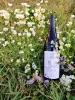 | Local flavours | Free | Eclassan (26 km) |
| Last name | Outing type | Difficulty | Duration | Departure municipality |
|---|---|---|---|---|
 | Hike | Easy | 1:30 | Devesset (5.4 km) |
 | Hike | Athletic | 10:00 | Saint-Agrève (8.8 km) |
 | Hike | Easy | 1:30 | Désaignes (10.3 km) |
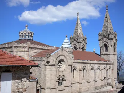
| Village visit | Intermediate | 4:00 | Désaignes (10.4 km) |
| Hike | Athletic | 7:00 | Désaignes (10.4 km) |


