

Favourite
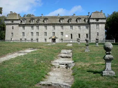
Gévaudan Wolf Park
| Municipality | Recoules-de-Fumas |
|---|---|
| Postcode | 48100 |
| Latitude | 44.6408520 (N 44° 38’ 27”) |
| Longitude | 3.3449890 (E 3° 20’ 42”) |
| Altitude | From 879m to 1144m |
| Surface area | 9.77 km² |
| Population | 104 inhabitants |
| Density | 10 inhabitants/km² |
| Prefecture | Mende (27 km, 32 min) |
| Insee code | 48124 |
| Intercommunality | CC du Gévaudan |
| Department | Lozère |
| Territories | Languedoc-Roussillon, Massif Central |
| Region | Occitanie |
| Lachamp-Ribennes | 8.7 km (12 min) |
|---|---|
| Serverette | 11.9 km (17 min) |
| Saint-Gal | 12.1 km (16 min) |
| Saint-Léger-de-Peyre | 12.5 km (18 min) |
| Le Buisson | 12.9 km (18 min) |
| Fontans | 16.5 km (25 min) |
| Les Laubies | 16.7 km (21 min) |
| Peyre en Aubrac | 17.1 km (22 min) |
| Monts-de-Randon | 18 km (21 min) |
| Montrodat | 19.2 km (28 min) |
| Antrenas | 21 km (23 min) |
| Rimeize | 21 km (26 min) |
| Marvejols | 22 km (28 min) |
| Gabrias | 23 km (33 min) |
| Natural sites |
|---|
| Last name | Activity type | Rate | City |
|---|---|---|---|
 | Sports sensations | 35 € | La Canourgue (26 km) |
 | Arts and Crafts | 55 € to 140 € | Saint-Martin-de-Lenne (38 km) |
 | Arts and Crafts | Free | Laguiole (40 km) |
| Last name | Outing type | Difficulty | Duration | Departure municipality |
|---|---|---|---|---|
 | Hike | Easy | 45 min | Langogne (41 km) |
 | All-terrain bike itinerary | Easy | 2:40 | Sévérac d'Aveyron (42 km) |
 | Hike | Intermediate | 4:00 | Hures-la-Parade (44 km) |
 | Hike | Easy | 2:00 | Pont de Montvert - Sud Mont Lozère (44 km) |
 | Hike | Intermediate | 4:00 | Pont de Montvert - Sud Mont Lozère (44 km) |