
Favourite
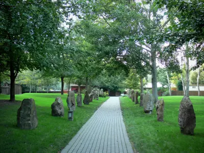
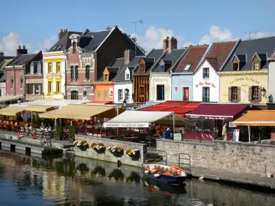
Poix-de-Picardie
| Municipality | Quevauvillers |
|---|---|
| Postcode | 80710 |
| Latitude | 49.8250230 (N 49° 49’ 30”) |
| Longitude | 2.0795700 (E 2° 4’ 46”) |
| Altitude | From 95m to 157m |
| Surface area | 8.82 km² |
| Population | 1111 inhabitants |
| Density | 125 inhabitants/km² |
| Prefecture | Amiens (17.3 km, 18 min) |
| Insee code | 80656 |
| Intercommunality | CC Somme Sud-Ouest |
| Department | Somme |
| Territory | Picardy |
| Region | Hauts-de-France |
| Namps-Maisnil | 3.7 km (7 min) |
|---|---|
| Fresnoy-au-Val | 3.9 km (7 min) |
| Fluy | 4.7 km (8 min) |
| Courcelles-sous-Moyencourt | 4.8 km (7 min) |
| Revelles | 4.8 km (8 min) |
| Moyencourt-lès-Poix | 5.7 km (8 min) |
| Seux | 6.6 km (12 min) |
| Bougainville | 7 km (10 min) |
| Pissy | 7.1 km (13 min) |
| Briquemesnil-Floxicourt | 7.5 km (13 min) |
| Bussy-lès-Poix | 7.5 km (12 min) |
| Creuse | 7.6 km (8 min) |
| Fricamps | 8.7 km (13 min) |
| Molliens-Dreuil | 9.1 km (13 min) |
| Last name | Activity type | Rate | City |
|---|---|---|---|
 | Culture and education | 35 € to 55 € | Auxi-le-Château (45 km) |
 | Nature and the great outdoors | 10 € to 18 € | Saint-Valery-sur-Somme (50 km) |
| Last name | Outing type | Difficulty | Duration | Departure municipality |
|---|---|---|---|---|
 | Hike | Easy | 3:00 | Courcelles-sous-Moyencourt (2.9 km) |
| Hike | Intermediate | 4:00 | Courcelles-sous-Moyencourt (2.9 km) |
 | Village visit | Easy | 2:00 | Saint-Maulvis (19.7 km) |
| Village visit | Easy | 2:00 | L'Étoile (22 km) |
| Hike | Easy | 1:00 | Long (25 km) |