
Favourite
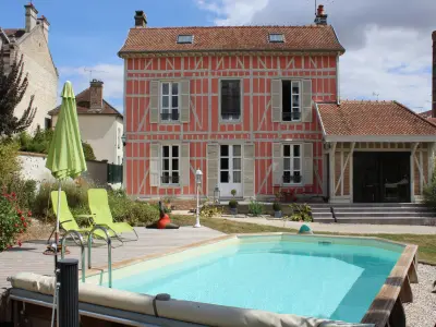
Villeneuve-l'Archevêque
| Municipality | Pouy-sur-Vannes |
|---|---|
| Postcode | 10290 |
| Latitude | 48.3070470 (N 48° 18’ 25”) |
| Longitude | 3.5888390 (E 3° 35’ 20”) |
| Surface area | 15.82 km² |
| Population | 180 inhabitants |
| Density | 11 inhabitants/km² |
| Prefecture | Troyes (49 km, 44 min) |
| Insee code | 10301 |
| Intercommunality | CC de l'Orvin et de l'Ardusson |
| Department | Aube |
| Territory | Champagne-Ardenne |
| Region | Great East |
| Courgenay | 4 km (7 min) |
|---|---|
| Bercenay-le-Hayer | 5.7 km (8 min) |
| Bourdenay | 6.7 km (9 min) |
| Villadin | 7.9 km (13 min) |
| Planty | 8.3 km (10 min) |
| Marcilly-le-Hayer | 8.9 km (12 min) |
| Lailly | 9.1 km (11 min) |
| Villeneuve-l'Archevêque | 9.4 km (16 min) |
| Bagneaux | 10.1 km (17 min) |
| Trancault | 10.3 km (13 min) |
| Flacy | 10.9 km (18 min) |
| Molinons | 10.9 km (14 min) |
| Charmoy | 11.7 km (17 min) |
| Natural sites |
|---|
| Last name | Activity type | Rate | City |
|---|---|---|---|
 | Sports sensations | 10 € | Joigny (39 km) |
| Last name | Outing type | Difficulty | Duration | Departure municipality |
|---|---|---|---|---|
 | All-terrain bike itinerary | Athletic | 5:50 | Marcilly-le-Hayer (5.6 km) |
 | All-terrain bike itinerary | Easy | 3:55 | Aix-Villemaur-Pâlis (14.2 km) |
 | Hike | Easy | 7:05 | Aix-Villemaur-Pâlis (14.2 km) |
 | Hike | Easy | 1:10 | Aix-Villemaur-Pâlis (14.3 km) |
 | Hike | Easy | 2:05 | Bérulle (15.3 km) |