


Favourite
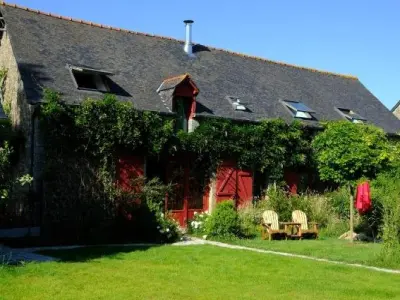
Clairmont Abbey
| Municipality | Port-Brillet |
|---|---|
| Postcode | 53410 |
| Latitude | 48.1132000 (N 48° 6’ 48”) |
| Longitude | -0.9728290 (W 0° 58’ 22”) |
| Altitude | From 98m to 154m |
| Surface area | 8.10 km² |
| Population | 1823 inhabitants |
| Density | 225 inhabitants/km² |
| Prefecture | Laval (18.4 km, 23 min) |
| Insee code | 53182 |
| Intercommunality | CA Laval Agglomération |
| Department | Mayenne |
| Territory | Maine |
| Region | Pays de la Loire |
| La Brûlatte | 4.1 km (6 min) |
|---|---|
| Launay-Villiers | 4.5 km (9 min) |
| Saint-Pierre-la-Cour | 4.6 km (9 min) |
| Olivet | 5.3 km (8 min) |
| Loiron-Ruillé | 7.7 km (10 min) |
| Le Bourgneuf-la-Forêt | 7.9 km (13 min) |
| Saint-Ouën-des-Toits | 8.5 km (12 min) |
| Bréal-sous-Vitré | 8.7 km (14 min) |
| Le Genest-Saint-Isle | 9 km (13 min) |
| La Gravelle | 9.2 km (13 min) |
| Mondevert | 11.6 km (16 min) |
| Bourgon | 11.8 km (16 min) |
| La Chapelle-Erbrée | 12.6 km (18 min) |
| La Baconnière | 13.5 km (16 min) |
| Transport |
|---|
| Last name | Outing type | Difficulty | Duration | Departure municipality |
|---|---|---|---|---|
 | Village visit | Easy | 2:00 | La Roche-Neuville (30 km) |
 | Hike | Easy | 1:45 | Prée-d'Anjou (31 km) |
 | Hike | Intermediate | 2:10 | La Bouëxière (35 km) |
 | Hike | Intermediate | 3:00 | Piré-Chancé (36 km) |
 | Hike | Intermediate | 2:45 | Châteaugiron (40 km) |