


Favourite
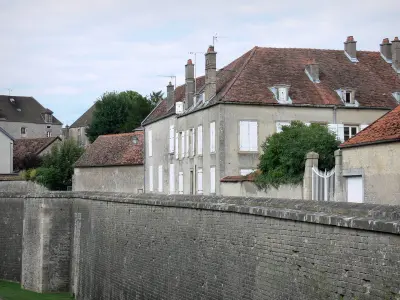
Auberive Abbey
| Municipality | Perrogney-les-Fontaines |
|---|---|
| Postcode | 52160 |
| Latitude | 47.8116170 (N 47° 48’ 42”) |
| Longitude | 5.1987530 (E 5° 11’ 56”) |
| Surface area | 14.79 km² |
| Population | 112 inhabitants |
| Density | 7 inhabitants/km² |
| Prefecture | Chaumont (49 km, 35 min) |
| Insee code | 52384 |
| Intercommunality | CC d'Auberive Vingeanne et Montsaugeonnais |
| Department | Haute-Marne |
| Territory | Champagne-Ardenne |
| Region | Great East |
| Courcelles-en-Montagne | 3.8 km (8 min) |
|---|---|
| Voisines | 6.3 km (10 min) |
| Flagey | 6.5 km (7 min) |
| Orcevaux | 7.8 km (8 min) |
| Brennes | 7.8 km (11 min) |
| Aprey | 8 km (10 min) |
| Noidant-le-Rocheux | 9.4 km (12 min) |
| Mardor | 10 km (18 min) |
| Villiers-lès-Aprey | 10.1 km (14 min) |
| Verseilles-le-Bas | 10.5 km (11 min) |
| Rochetaillée | 10.5 km (13 min) |
| Vauxbons | 10.6 km (18 min) |
| Vitry-en-Montagne | 10.7 km (14 min) |
| Last name | Outing type | Difficulty | Duration | Departure municipality |
|---|---|---|---|---|
 | Hike | Easy | 4:50 | Noidant-le-Rocheux (4.8 km) |
 | Cycling itinerary | Easy | 1:15 | Flagey (5.4 km) |
 | Hike | Easy | 1:00 | Orcevaux (6.7 km) |
 | Hike | Easy | 2:40 | Orcevaux (6.9 km) |
 | Hike | Intermediate | 5:15 | Aujeurres (7.8 km) |


