


Favourite
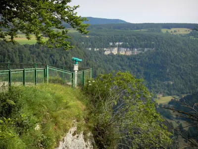
The Consolation rock formations
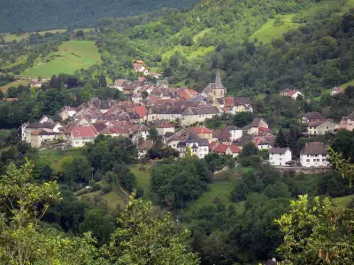
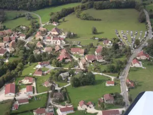
| Municipality | Orsans |
|---|---|
| Postcode | 25530 |
| Latitude | 47.2479370 (N 47° 14’ 53”) |
| Longitude | 6.3875170 (E 6° 23’ 15”) |
| Altitude | From 500m to 630m |
| Surface area | 8.29 km² |
| Population | 171 inhabitants |
| Density | 20 inhabitants/km² |
| Prefecture | Besançon (34 km, 37 min) |
| Insee code | 25435 |
| Intercommunality | CC des Portes du Haut-Doubs |
| Department | Doubs |
| Territories | Franche-Comté, Jura mountains |
| Region | Burgundy-Franche-Comté |
| Bremondans | 2.2 km (2 min) |
|---|---|
| Courtetain-et-Salans | 2.7 km (5 min) |
| Belmont | 3.7 km (9 min) |
| Passavant | 3.9 km (5 min) |
| Chaux-lès-Passavant | 4.2 km (6 min) |
| Épenouse | 6 km (8 min) |
| Landresse | 6.7 km (10 min) |
| Villers-Chief | 7 km (10 min) |
| Vaudrivillers | 7.7 km (8 min) |
| Magny-Châtelard | 7.7 km (11 min) |
| Vercel-Villedieu-le-Camp | 8.5 km (9 min) |
| Germéfontaine | 8.8 km (13 min) |
| Vellerot-lès-Vercel | 8.9 km (13 min) |
| Côtebrune | 8.9 km (14 min) |
| Last name | Activity type | Rate | City |
|---|---|---|---|
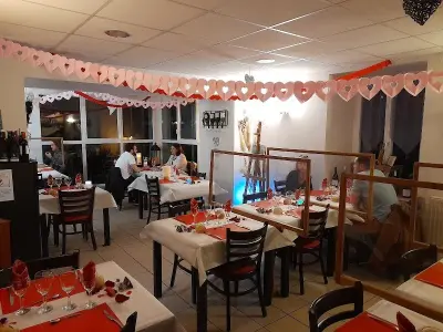
 | Entertainment | 84 € to 110 € | Besançon (27 km) |
| Last name | Outing type | Difficulty | Duration | Departure municipality |
|---|---|---|---|---|
 | Hike | Easy | 1:00 | Pays-de-Clerval (18.2 km) |
 | Hike | Easy | 6:00 | Devecey (29 km) |
 | Hike | Intermediate | 35 min | Hauterive-la-Fresse (32 km) |
 | Hike | Athletic | 5:05 | Fretigney-et-Velloreille (42 km) |
 | Hike | Easy | 1:05 | La Rivière-Drugeon (44 km) |