In July, annual celebration of Noël-Cerneux.


Favourite
| Municipality | Noël-Cerneux |
|---|---|
| Postcode | 25500 |
| Latitude | 47.1010850 (N 47° 6’ 4”) |
| Longitude | 6.6649720 (E 6° 39’ 54”) |
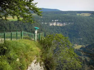
| Altitude | From 888m to 1082m |
| Surface area | 6.36 km² |
| Population | 475 inhabitants |
| Density | 74 inhabitants/km² |
| Prefecture | Besançon (63 km, 59 min) |
| Insee code | 25425 |
| Intercommunality | CC du Plateau de Russey |
| Department | Doubs |
| Territories | Franche-Comté, Jura mountains |
| Region | Burgundy-Franche-Comté |
| La Chenalotte | 2.2 km (4 min) |
|---|---|
| Les Fins | 4.8 km (6 min) |
| Le Barboux | 5.2 km (8 min) |
| Narbief | 5.7 km (6 min) |
| Le Bizot | 7.5 km (11 min) |
| Morteau | 7.5 km (9 min) |
| Le Bélieu | 8.3 km (13 min) |
| Le Russey | 9.3 km (9 min) |
| Montlebon | 9.6 km (12 min) |
| Fournets-Luisans | 10.1 km (15 min) |
| Villers-le-Lac | 10.5 km (17 min) |
| La Bosse | 10.7 km (14 min) |
| Fuans | 10.9 km (13 min) |
| Grand'Combe-des-Bois | 11.3 km (16 min) |
In July, annual celebration of Noël-Cerneux.
| Last name | Outing type | Difficulty | Duration | Departure municipality |
|---|---|---|---|---|
 | Hike | Intermediate | 35 min | Hauterive-la-Fresse (21 km) |
 | Hike | Easy | 1:00 | Pays-de-Clerval (35 km) |
 | Hike | Easy | 1:05 | La Rivière-Drugeon (43 km) |
 | Hike | Intermediate | 35 min | Grand-Charmont (48 km) |
 | Hike | Easy | 6:00 | Devecey (55 km) |


