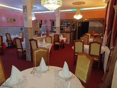


Favourite
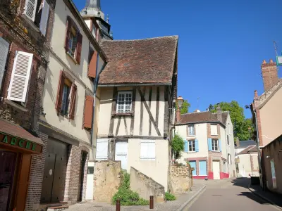
Toucy
| Municipality | Merry-la-Vallée |
|---|---|
| Postcode | 89110 |
| Latitude | 47.7999420 (N 47° 47’ 60”) |
| Longitude | 3.3327930 (E 3° 19’ 58”) |
| Altitude | From 160m to 292m |
| Surface area | 18.31 km² |
| Population | 376 inhabitants |
| Density | 20 inhabitants/km² |
| Prefecture | Auxerre (22 km, 31 min) |
| Insee code | 89251 |
| Intercommunality | CC de l'Aillantais en Bourgogne |
| Department | Yonne |
| Territory | Burgundy |
| Region | Burgundy-Franche-Comté |
| Égleny | 3.6 km (7 min) |
|---|---|
| Le Val d'Ocre | 4.1 km (7 min) |
| Saint-Maurice-le-Vieil | 4.3 km (7 min) |
| Parly | 5.6 km (14 min) |
| Beauvoir | 5.7 km (10 min) |
| Saint-Maurice-Thizouaille | 6.9 km (11 min) |
| Chassy | 9.2 km (13 min) |
| Lindry | 9.3 km (14 min) |
| Toucy | 9.5 km (12 min) |
| Dracy | 9.7 km (15 min) |
| Les Ormes | 9.9 km (16 min) |
| Pourrain | 11.6 km (16 min) |
| Villiers-Saint-Benoît | 11.7 km (17 min) |
| Montholon | 11.9 km (17 min) |
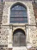
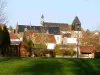
| Natural sites |
|---|
| Last name | Activity type | Rate | City |
|---|---|---|---|
 | Sports sensations | 10 € | Joigny (21 km) |
 | Entertainment | 8 € | Chamoux (46 km) |
| Last name | Outing type | Difficulty | Duration | Departure municipality |
|---|---|---|---|---|
 | Hike | Easy | 2:30 | Lindry (6.4 km) |
 | Hike | Easy | 20 min | Toucy (7.7 km) |
| Village visit | Easy | 3:10 | Migennes (23 km) |
 | Village visit | Easy | 1:30 | Bléneau (31 km) |
 | Hike | Easy | 2:00 | Courgis (32 km) |