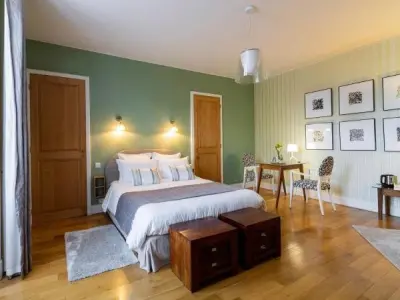
Favourite
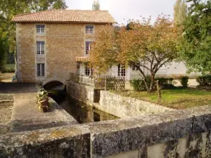
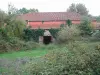
The Nouaillé-Maupertuis abbey
| Municipality | Marnay |
|---|---|
| Postcode | 86160 |
| Latitude | 46.3955690 (N 46° 23’ 44”) |
| Longitude | 0.3411910 (E 0° 20’ 28”) |
| Altitude | From 96m to 144m |
| Surface area | 45.10 km² |
| Population | 725 inhabitants |
| Density | 16 inhabitants/km² |
| Prefecture | Poitiers (26 km, 34 min) |
| Insee code | 86148 |
| Intercommunality | CC des Vallées du Clain |
| Department | Vienne |
| Territory | Poitou |
| Region | New-Aquitaine |
| Château-Larcher | 4.5 km (6 min) |
|---|---|
| Gençay | 6.7 km (8 min) |
| Saint-Maurice-la-Clouère | 7.4 km (8 min) |
| Aslonnes | 7.6 km (10 min) |
| La Villedieu-du-Clain | 8.5 km (12 min) |
| Magné | 9.4 km (11 min) |
| Anché | 9.6 km (16 min) |
| Champagné-Saint-Hilaire | 9.8 km (15 min) |
| Vivonne | 10.4 km (13 min) |
| Roches-Prémarie-Andillé | 11 km (14 min) |
| Brion | 12 km (13 min) |
| Voulon | 12.1 km (19 min) |
| La Ferrière-Airoux | 13.2 km (13 min) |
| Gizay | 13.3 km (13 min) |
| Last name | Outing type | Difficulty | Duration | Departure municipality |
|---|---|---|---|---|
 | Hike | Easy | 3:20 | Saint-Martin-l'Ars (25 km) |
 | All-terrain bike itinerary | Easy | 2:30 | Lussac-les-Châteaux (29 km) |
 | All-terrain bike itinerary | Easy | 3:20 | Lussac-les-Châteaux (29 km) |
 | Hike | Easy | 40 min | Lussac-les-Châteaux (29 km) |
 | Car itinerary | Easy | 1:05 | L'Isle-Jourdain (32 km) |