
Favourite
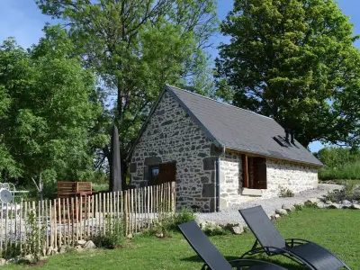
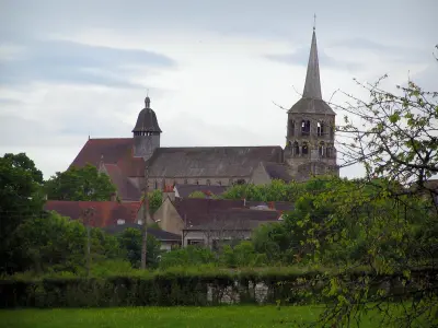
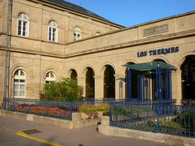
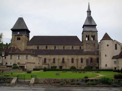
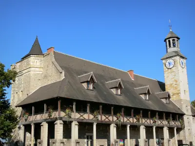
Évaux-les-Bains
| Municipality | Marcillat-en-Combraille |
|---|---|
| Postcode | 03420 |
| Tourism label | ") |
| Latitude | 46.1670520 (N 46° 10’ 1”) |
| Longitude | 2.6312640 (E 2° 37’ 53”) |
| Altitude | From 347m to 535m |
| Surface area | 35.21 km² |
| Population | 927 inhabitants |
| Density | 26 inhabitants/km² |
| Prefecture | Moulins (82 km, 1:13) |
| Insee code | 03161 |
| Intercommunality | CA Montluçon Communauté |
| Department | Allier |
| Territories | Auvergne, Bourbonnais, Massif Central |
| Region | Auvergne-Rhône-Alps |
| Saint-Fargeol | 4.8 km (9 min) |
|---|---|
| Terjat | 4.9 km (7 min) |
| Virlet | 5.8 km (10 min) |
| Saint-Marcel-en-Marcillat | 6.3 km (10 min) |
| Chambonchard | 7.1 km (8 min) |
| La Petite-Marche | 7.5 km (12 min) |
| Pionsat | 8.8 km (11 min) |
| Ronnet | 9 km (11 min) |
| La Crouzille | 9.7 km (10 min) |
| Arpheuilles-Saint-Priest | 10 km (12 min) |
| Saint-Hilaire | 10.2 km (15 min) |
| La Cellette | 11.1 km (13 min) |
| Ars-les-Favets | 11.4 km (13 min) |
| Saint-Maigner | 11.5 km (15 min) |
| Sainte-Thérence | 12.1 km (16 min) |
| Last name | Activity type | Rate | City |
|---|---|---|---|
 | Nature and the great outdoors | 7 € | Chapdes-Beaufort (35 km) |
 | Nature and the great outdoors | 140 € to 240 € | Volvic (45 km) |
| Last name | Outing type | Difficulty | Duration | Departure municipality |
|---|---|---|---|---|
 | Hike | Easy | 2:00 | Évaux-les-Bains (11.3 km) |
 | Hike | Intermediate | 2:20 | Évaux-les-Bains (11.3 km) |
 | Car itinerary | Easy | 1:35 | Évaux-les-Bains (11.3 km) |
 | Hike | Easy | 2:00 | Chambon-sur-Voueize (16 km) |
 | Village visit | Easy | 1:00 | Servant (23 km) |