Liven up your holidays!

Mailleroncourt-Charette

Tourism, holidays & weekends guide in the Haute-Saône

Mailleroncourt-Charette - Tourism, holidays & weekends guide in the Haute-Saône
7.3
3

Geographical information

MunicipalityMailleroncourt-Charette
Postcode70240
Latitude47.7265530 (N 47° 43’ 36”)
Longitude6.2602920 (E 6° 15’ 37”)
AltitudeFrom 241m to 360m
Surface area10.60 km²
Population290 inhabitants
Density27 inhabitants/km²
PrefectureVesoul (18.8 km, 21 min)
Insee code70322
IntercommunalityCC du Triangle Vert
DepartmentHaute-Saône
TerritoryFranche-Comté
RegionBurgundy-Franche-Comté

Nearest cities & towns

La Villeneuve-Bellenoye-et-la-Maize2.7 km (7 min)
Vilory2.8 km (6 min)
Servigney4.2 km (7 min)
Saulx4.4 km (6 min)
Vellefrie5.1 km (10 min)
Varogne5.5 km (13 min)
Villers-lès-Luxeuil5.8 km (8 min)
Creveney6 km (11 min)
Meurcourt6.1 km (9 min)
Genevrey6.1 km (10 min)
Châteney7.1 km (13 min)
Velorcey7.6 km (12 min)
Châtenois7.7 km (13 min)
Éhuns7.9 km (13 min)

Things to see and do

Places of interest

Leisure centres

Photos

Saint-Léger chapel (© JE)
See photo
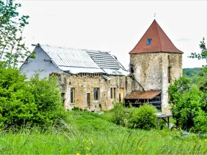
Old castle (© JE)
Old castle (© JE)
See photo
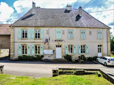
Mailleroncourt-Charette town hall (© JE)
See photo
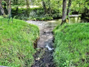
Meurcourt stream, at its mouth with the Durgeon (© JE)
See photo
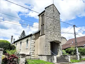
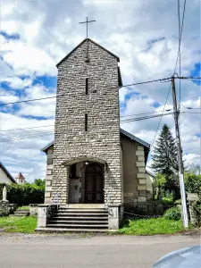
Saint-Léger church Léger (© JE)
See photo
Saint-Léger chapel (© JE)
See photo
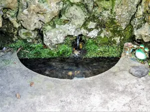
Fountain, on the Meurcourt stream (© JE)
See photo
Basin of the Saint-Léger fountain (© JE)
See photo
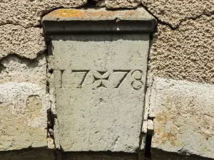
Lintel key, dated 1778 (© JE)
See photo
Crossroads cross (© JE)
See photo
Saint-Léger church (© JE)
See photo
History of the Saint-Léger chapel (© JE)
See photo
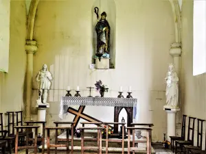
Inside the chapel Saint-Léger (© JE)
See photo
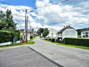
Rue de Villers-lès-Luxeuil (© JE)
See photo
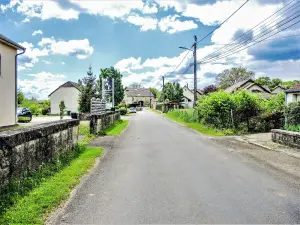
Rue du pigeonnier (© JE)
See photo
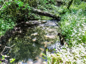
Meurcourt stream (© JE)
See photo
Origer stream, near of the Saint-Léger chapel (© JE)
See photo
Saint-Léger fountain (© JE)
See photo
Statue of Saint-Léger, in the Saint-Léger chapel (© JE)
See photo

Weather

Saturday 20 april
Min. 3°C - Max. 9°C
Day
Night
Sunday 21 april
Min. 2°C - Max. 10°C
Day
Night
Monday 22 april
Min. 1°C - Max. 8°C
Day
Night

Visits, leisure and activities nearby

Leisure activities

Last nameActivity typeRateCity
Visit a copper mine
Culture and education11 € Le Thillot (41 km)
Interactive tour of a leather studio
Arts and Crafts12 € Basse-sur-le-Rupt (47 km)

Outings

Last nameOuting typeDifficultyDurationDeparture municipality
To the Sources of Saint-Remy
HikeIntermediate3:30Saint-Rémy-en-Comté (17.3 km)
Interpretation circuit of the Rives de Saône
HikeEasy1:05Ferrières-lès-Scey (19.8 km)
Circuit of Princes of Beaufremont
HikeEasy2:05Scey-sur-Saône-et-Saint-Albin (23 km)
Tour 4: La Bourguignotte
HikeIntermediate2:10La Vôge-les-Bains (30 km)
Black balm circuit
HikeAthletic5:05Fretigney-et-Velloreille (36 km)

Restaurants

Bed & breakfasts

Vacation rentals

Campsites

Hotels

Your holidays
A hotel
A vacation rental
A bed & breakfast
A campsite
A leisure activity
A restaurant
A rental car
A plane ticket
By continuing to browse our site, you are agreeing to the use of cookies to improve your experience and make targeted offers.
Find out more and make settings
Your account