
Favourite
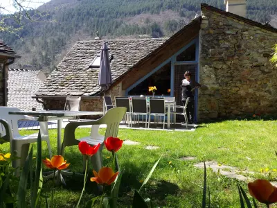
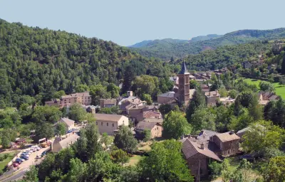
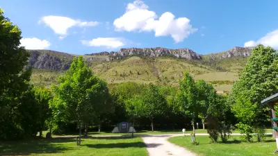
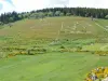
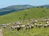
Cévennes National Park
| Municipality | Les Bondons |
|---|---|
| Postcode | 48400 |
| Latitude | 44.3868770 (N 44° 23’ 13”) |
| Longitude | 3.6164610 (E 3° 36’ 59”) |
| Altitude | From 600m to 1569m |
| Surface area | 45.54 km² |
| Population | 152 inhabitants |
| Density | 3 inhabitants/km² |
| Prefecture | Mende (28 km, 33 min) |
| Insee code | 48028 |
| Intercommunality | CC Gorges Causses Cévennes |
| Department | Lozère |
| Territories | Languedoc-Roussillon, Massif Central |
| Region | Occitanie |
| Bédouès-Cocurès | 8.4 km (15 min) |
|---|---|
| Florac Trois Rivières | 13.5 km (22 min) |
| Saint-Étienne-du-Valdonnez | 15.2 km (22 min) |
| Ispagnac | 19.4 km (26 min) |
| Saint-Bauzile | 21 km (26 min) |
| Cans et Cévennes | 23 km (32 min) |
| Lanuéjols | 23 km (33 min) |
| Pont de Montvert - Sud Mont Lozère | 23 km (34 min) |
| Brenoux | 23 km (28 min) |
| Balsièges | 25 km (29 min) |
| Vebron | 26 km (36 min) |
| Barre-des-Cévennes | 28 km (39 min) |
| Mont Lozère et Goulet | 30 km (58 min) |
| Cassagnas | 30 km (37 min) |
| Last name | Activity type | Rate | City |
|---|---|---|---|
 | Sports sensations | 35 € | La Canourgue (32 km) |
 | Sports sensations | 16 € | Chassagnes (44 km) |
 | Sports sensations | 35 € | Casteljau (47 km) |
 | Sports sensations | 10 € to 42 € | Berrias-et-Casteljau (48 km) |
 | Entertainment | 12 € | Sanilhac (49 km) |
| Last name | Outing type | Difficulty | Duration | Departure municipality |
|---|---|---|---|---|
 | Hike | Intermediate | 4:00 | Pont de Montvert - Sud Mont Lozère (10.6 km) |
 | Hike | Easy | 2:00 | Pont de Montvert - Sud Mont Lozère (10.6 km) |
 | Hike | Intermediate | 3:00 | Ventalon en Cévennes (22 km) |
 | Hike | Easy | 2:30 | Villefort (26 km) |
 | Hike | Intermediate | 4:00 | Hures-la-Parade (26 km) |