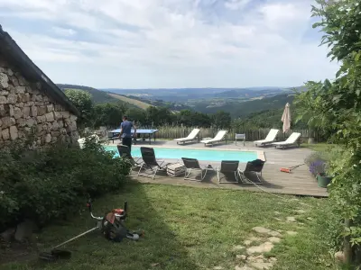


Favourite
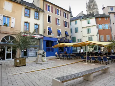
Mende
| Municipality | Le Born |
|---|---|
| Postcode | 48000 |
| Latitude | 44.5599820 (N 44° 33’ 36”) |
| Longitude | 3.5614750 (E 3° 33’ 41”) |
| Altitude | From 918m to 1437m |
| Surface area | 30.21 km² |
| Population | 154 inhabitants |
| Density | 5 inhabitants/km² |
| Prefecture | Mende (11.4 km, 15 min) |
| Insee code | 48029 |
| Intercommunality | CC Cœur de Lozère |
| Department | Lozère |
| Territories | Languedoc-Roussillon, Massif Central |
| Region | Occitanie |
| Badaroux | 5.6 km (10 min) |
|---|---|
| Pelouse | 10.1 km (14 min) |
| Chadenet | 10.7 km (18 min) |
| Sainte-Hélène | 11 km (16 min) |
| Mende | 11.4 km (16 min) |
| Laubert | 12.5 km (15 min) |
| Allenc | 13.7 km (21 min) |
| Chastel-Nouvel | 17.4 km (24 min) |
| Balsièges | 18.6 km (24 min) |
| Montbel | 19.3 km (21 min) |
| Brenoux | 19.5 km (29 min) |
| Barjac | 22 km (29 min) |
| Châteauneuf-de-Randon | 23 km (24 min) |
| Mont Lozère et Goulet | 23 km (33 min) |
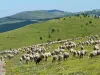
| Natural sites |
|---|
| Last name | Activity type | Rate | City |
|---|---|---|---|
 | Sports sensations | 35 € | La Canourgue (31 km) |
 | Arts and Crafts | 55 € to 140 € | Saint-Martin-de-Lenne (49 km) |
| Last name | Outing type | Difficulty | Duration | Departure municipality |
|---|---|---|---|---|
 | Hike | Easy | 2:00 | Pont de Montvert - Sud Mont Lozère (26 km) |
 | Hike | Intermediate | 4:00 | Pont de Montvert - Sud Mont Lozère (26 km) |
 | Hike | Easy | 45 min | Langogne (30 km) |
 | Hike | Easy | 2:30 | Villefort (32 km) |
 | Hike | Intermediate | 3:00 | Ventalon en Cévennes (38 km) |