


Favourite
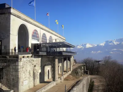
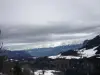
The Vercors Regional Nature Park
| Municipality | La Rivière |
|---|---|
| Postcode | 38210 |
| Latitude | 45.2348460 (N 45° 14’ 5”) |
| Longitude | 5.5071519 (E 5° 30’ 26”) |
| Altitude | From 178m to 1604m |
| Surface area | 18.45 km² |
| Population | 743 inhabitants |
| Density | 40 inhabitants/km² |
| Prefecture | Grenoble (30 km, 26 min) |
| Insee code | 38338 |
| Intercommunality | CC Saint-Marcellin Vercors Isère Communauté |
| Department | Isère |
| Territories | Alps, Dauphiné |
| Region | Auvergne-Rhône-Alps |
| Saint-Gervais | 4.5 km (5 min) |
|---|---|
| Rovon | 5.7 km (7 min) |
| Saint-Quentin-sur-Isère | 6.3 km (7 min) |
| L'Albenc | 8.7 km (10 min) |
| Chantesse | 11.2 km (13 min) |
| Cognin-les-Gorges | 11.6 km (11 min) |
| Vinay | 11.7 km (13 min) |
| Tullins | 11.8 km (14 min) |
| Montaud | 12.7 km (16 min) |
| Poliénas | 12.9 km (18 min) |
| Vourey | 14.4 km (17 min) |
| Cras | 14.6 km (18 min) |
| Têche | 15.1 km (17 min) |
| Morette | 15.1 km (19 min) |
| Last name | Activity type | Rate | City |
|---|---|---|---|
 | Sports sensations | 45 € to 75 € | Autrans-Méaudre en Vercors (7.3 km) |
 | Sports sensations | 48 € to 60 € | Grenoble (17.1 km) |
 | Sports sensations | 50 € to 80 € | Grenoble (17.8 km) |
 | Sports sensations | 50 € to 65 € | Grenoble (17.8 km) |
 | Culture and education | 17 € | Pont-en-Royans (23 km) |
| Last name | Outing type | Difficulty | Duration | Departure municipality |
|---|---|---|---|---|
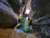
 | Hike | Intermediate | 4:00 | Lans-en-Vercors (10.4 km) |
 | Hike | Easy | 2:10 | Bévenais (21 km) |
 | Cycling itinerary | Easy | 1:35 | Châbons (23 km) |
 | Village visit | Easy | 1:00 | Corrençon-en-Vercors (23 km) |
 | Hike | Intermediate | 2:00 | Vizille (27 km) |


