

Favourite
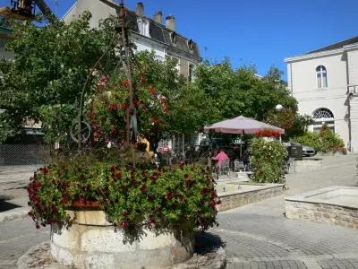
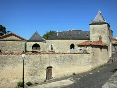
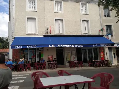
Ruffec
| Municipality | La Magdeleine |
|---|---|
| Postcode | 16240 |
| Latitude | 46.0516667 (N 46° 3’ 6”) |
| Longitude | 0.0741667 (E 0° 4’ 27”) |
| Altitude | From 128m to 159m |
| Surface area | 6.68 km² |
| Population | 121 inhabitants |
| Density | 18 inhabitants/km² |
| Prefecture | Angoulême (58 km, 53 min) |
| Insee code | 16197 |
| Intercommunality | CC Val de Charente |
| Department | Charente |
| Territory | Charentes |
| Region | New-Aquitaine |
| Theil-Rabier | 3.2 km (5 min) |
|---|---|
| Villiers-le-Roux | 3.6 km (6 min) |
| Empuré | 3.8 km (6 min) |
| La Forêt-de-Tessé | 3.9 km (6 min) |
| Villefagnan | 6 km (9 min) |
| La Chèvrerie | 6.1 km (10 min) |
| Brettes | 6.4 km (10 min) |
| Montjean | 6.5 km (10 min) |
| Paizay-Naudouin-Embourie | 7.1 km (12 min) |
| Londigny | 7.8 km (13 min) |
| Saint-Martin-du-Clocher | 8.9 km (15 min) |
| Raix | 9.1 km (12 min) |
| Lorigné | 9.2 km (14 min) |
| Valdelaume | 9.3 km (12 min) |
| Last name | Activity type | Rate | City |
|---|---|---|---|
 | Entertainment | 52 € to 84 € | La Rochefoucauld-en-Angoumois (42 km) |
 | Local flavours | Free | Graves-Saint-Amant (47 km) |
 | Local flavours | Free | La Couronne (48 km) |
| Last name | Outing type | Difficulty | Duration | Departure municipality |
|---|---|---|---|---|
 | Hike | Easy | 1:00 | Mons (21 km) |
 | Hike | Easy | 3:20 | Saint-Martin-l'Ars (40 km) |
 | Village visit | Easy | 1:30 | Bunzac (45 km) |
 | Car itinerary | Easy | 55 min | Availles-Limouzine (46 km) |
 | Hike | Intermediate | 55 min | Availles-Limouzine (46 km) |


