
Favourite
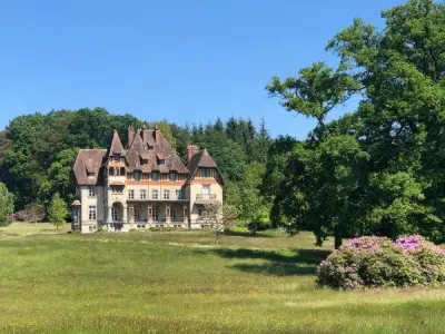
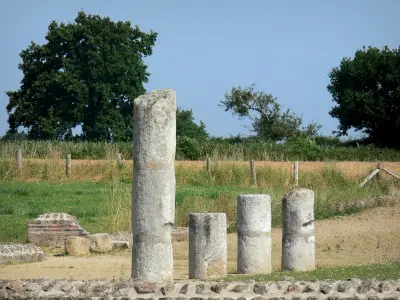
The Gallo-Roman town of Jublains
| Municipality | La Chapelle-au-Riboul |
|---|---|
| Postcode | 53440 |
| Latitude | 48.3183530 (N 48° 19’ 6”) |
| Longitude | -0.4370810 (W 0° 26’ 13”) |
| Altitude | From 137m to 255m |
| Surface area | 13.10 km² |
| Population | 514 inhabitants |
| Density | 39 inhabitants/km² |
| Prefecture | Laval (47 km, 45 min) |
| Insee code | 53057 |
| Intercommunality | CC Mayenne Communauté |
| Department | Mayenne |
| Territory | Maine |
| Region | Pays de la Loire |
| Hardanges | 4 km (6 min) |
|---|---|
| Marcillé-la-Ville | 5.1 km (6 min) |
| Loupfougères | 7.4 km (8 min) |
| Champgenéteux | 8.2 km (12 min) |
| Grazay | 8.4 km (10 min) |
| Le Ribay | 9.5 km (9 min) |
| Jublains | 9.7 km (12 min) |
| Hambers | 9.8 km (12 min) |
| Le Horps | 9.9 km (10 min) |
| Le Ham | 9.9 km (14 min) |
| Aron | 11.7 km (13 min) |
| Bais | 12.4 km (15 min) |
| Trans | 12.5 km (18 min) |
| Champéon | 12.6 km (14 min) |
| Last name | Activity type | Rate | City |
|---|---|---|---|
 | Well-being | 60 € to 150 € | Bagnoles de l'Orne Normandie (26 km) |
| Last name | Outing type | Difficulty | Duration | Departure municipality |
|---|---|---|---|---|
 | Cycling itinerary | Intermediate | 5:00 | Soucé (24 km) |
 | Car itinerary | Easy | 4:00 | Saint-Cyr-du-Bailleul (38 km) |
 | Village visit | Easy | 2:00 | La Roche-Neuville (51 km) |
 | Hike | Easy | 3:00 | Saint-Denis-d'Anjou (59 km) |
 | Hike | Easy | 3:25 | Saint-Longis (59 km) |