The third Sunday of May: Feast of the Gougère.

Favourite
| Municipality | Flogny-la-Chapelle |
|---|---|
| Postcode | 89360 |
| Latitude | 47.9517730 (N 47° 57’ 6”) |
| Longitude | 3.8720490 (E 3° 52’ 19”) |
| Altitude | From 112m to 183m |
| Surface area | 23.75 km² |
| Population | 969 inhabitants |
| Density | 40 inhabitants/km² |
| Prefecture | Auxerre (33 km, 42 min) |
| Insee code | 89169 |
| Intercommunality | CC Le Tonnerrois en Bourgogne |
| Department | Yonne |
| Territory | Burgundy |
| Region | Burgundy-Franche-Comté |
| Percey | 4 km (4 min) |
|---|---|
| Carisey | 4 km (5 min) |
| Villiers-Vineux | 4.5 km (6 min) |
| Marolles-sous-Lignières | 5.6 km (6 min) |
| Les Croûtes | 6.3 km (10 min) |
| Roffey | 6.6 km (9 min) |
| Butteaux | 6.8 km (8 min) |
| Tronchoy | 7.1 km (7 min) |
| Dyé | 7.3 km (10 min) |
| Méré | 7.5 km (11 min) |
| Bernouil | 7.6 km (11 min) |
| Cheney | 7.7 km (7 min) |
| Jaulges | 8.2 km (10 min) |
| Lignières | 8.4 km (10 min) |
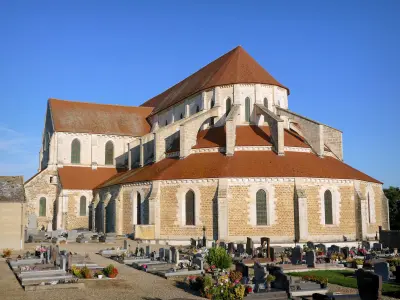
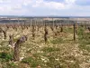
| Natural sites |
|---|
The third Sunday of May: Feast of the Gougère.
| Last name | Activity type | Rate | City |
|---|---|---|---|
 | Sports sensations | 10 € | Joigny (37 km) |
 | Entertainment | 30 € to 40 € | Ville-sur-Arce (46 km) |
| Last name | Outing type | Difficulty | Duration | Departure municipality |
|---|---|---|---|---|
 | All-terrain bike itinerary | Athletic | 5:15 | Ervy-le-Châtel (10.3 km) |
 | Hike | Easy | 1:45 | Ervy-le-Châtel (10.4 km) |
 | Hike | Easy | 4:45 | Eaux-Puiseaux (19.1 km) |
 | Hike | Intermediate | 5:20 | Étourvy (19.3 km) |
 | Hike | Easy | 2:00 | Courgis (22 km) |