
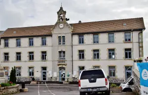
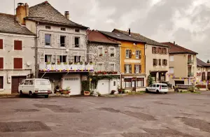
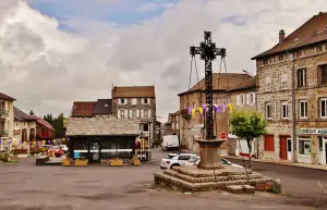
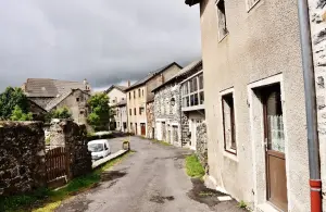
Favourite
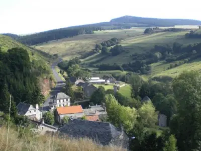
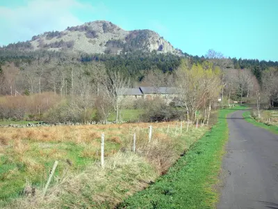
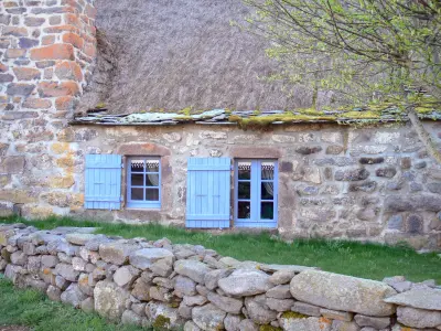
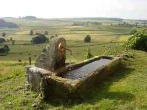
The Lizieux Peak


| Municipality | Fay-sur-Lignon |
|---|---|
| Postcode | 43430 |
| Latitude | 44.9856130 (N 44° 59’ 8”) |
| Longitude | 4.2268370 (E 4° 13’ 37”) |
| Altitude | From 1079m to 1380m |
| Surface area | 13.24 km² |
| Population | 366 inhabitants |
| Density | 27 inhabitants/km² |
| Prefecture | Le Puy-en-Velay (35 km, 43 min) |
| Insee code | 43092 |
| Intercommunality | CC Mézenc-Loire-Meygal |
| Department | Haute-Loire |
| Territories | Auvergne, Massif Central |
| Region | Auvergne-Rhône-Alps |
| Les Vastres | 4.6 km (6 min) |
|---|---|
| Chaudeyrolles | 5.9 km (8 min) |
| Saint-Clément | 8 km (12 min) |
| Saint-Front | 8.9 km (12 min) |
| Champclause | 9 km (13 min) |
| Mazet-Saint-Voy | 10.4 km (12 min) |
| Montusclat | 11.8 km (18 min) |
| Le Chambon-sur-Lignon | 14.8 km (18 min) |
| Mars | 15.1 km (16 min) |
| Moudeyres | 15.5 km (18 min) |
| La Rochette | 16.2 km (27 min) |
| Saint-Julien-d'Intres | 16.3 km (24 min) |
| Lachapelle-sous-Chanéac | 17.1 km (27 min) |
| Freycenet-la-Tour | 17.1 km (19 min) |


| Last name | Activity type | Rate | City |
|---|---|---|---|
 | Entertainment | 30 € | Tence (15.2 km) |
 | Local flavours | Free | Eclassan (46 km) |
 | Entertainment | 7 € to 10 € | Lussas (47 km) |
| Last name | Outing type | Difficulty | Duration | Departure municipality |
|---|---|---|---|---|
 | Hike | Intermediate | 1:00 | Mazet-Saint-Voy (7 km) |
| Hike | Athletic | 10:00 | Saint-Agrève (13.6 km) |
 | Hike | Easy | 1:30 | Devesset (15.6 km) |
 | Hike | Easy | 2:10 | Sainte-Eulalie (16 km) |
 | Village visit | Easy | 1:00 | Dornas (17.7 km) |