

Favourite
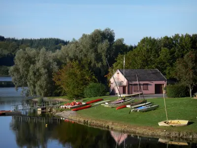
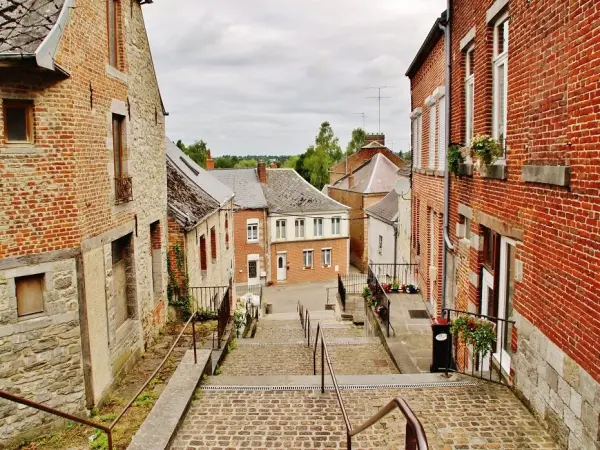
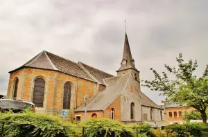
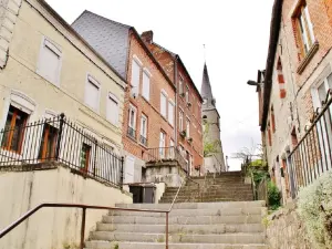
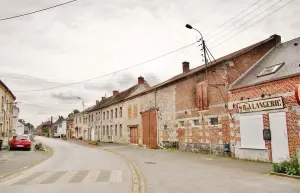
Avesnois Regional Nature Park


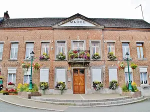
| Municipality | Étroeungt |
|---|---|
| Postcode | 59219 |
| Latitude | 50.0584500 (N 50° 3’ 30”) |
| Longitude | 3.9278020 (E 3° 55’ 40”) |
| Altitude | From 148m to 217m |
| Surface area | 25.10 km² |
| Population | 1307 inhabitants |
| Density | 52 inhabitants/km² |
| Prefecture | Lille (112 km, 1:25) |
| Insee code | 59218 |
| Intercommunality | CC Cœur de l'Avesnois |
| Department | Nord |
| Territory | Flandre-Artois |
| Region | Hauts-de-France |
| Larouillies | 2.7 km (4 min) |
|---|---|
| Floyon | 4.1 km (7 min) |
| Boulogne-sur-Helpe | 5 km (8 min) |
| Rocquigny | 5.9 km (8 min) |
| Fontenelle | 6.2 km (9 min) |
| Rainsars | 6.2 km (15 min) |
| La Flamengrie | 6.5 km (7 min) |
| Haut-Lieu | 6.6 km (10 min) |
| Avesnes-sur-Helpe | 8.1 km (10 min) |
| Wignehies | 8.3 km (13 min) |
| Féron | 8.5 km (13 min) |
| Avesnelles | 8.5 km (10 min) |
| Cartignies | 9.4 km (12 min) |
| Papleux | 9.7 km (12 min) |


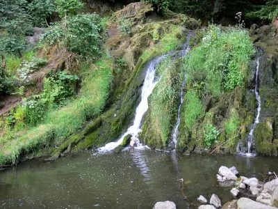
| Last name | Outing type | Difficulty | Duration | Departure municipality |
|---|---|---|---|---|
 | Hike | Easy | 20 min | Cambrai (51 km) |