


Favourite
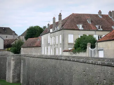
Langres
| Municipality | Courcelles-en-Montagne |
|---|---|
| Postcode | 52200 |
| Latitude | 47.8374920 (N 47° 50’ 15”) |
| Longitude | 5.2217550 (E 5° 13’ 18”) |
| Surface area | 15.16 km² |
| Population | 92 inhabitants |
| Density | 6 inhabitants/km² |
| Prefecture | Chaumont (53 km, 40 min) |
| Insee code | 52147 |
| Intercommunality | CC du Grand Langres |
| Department | Haute-Marne |
| Territory | Champagne-Ardenne |
| Region | Great East |
| Perrogney-les-Fontaines | 3.8 km (8 min) |
|---|---|
| Noidant-le-Rocheux | 3.9 km (7 min) |
| Perrancey-les-Vieux-Moulins | 5.3 km (11 min) |
| Voisines | 5.7 km (11 min) |
| Mardor | 6.2 km (14 min) |
| Saint-Ciergues | 8.9 km (16 min) |
| Saints-Geosmes | 9.8 km (15 min) |
| Brennes | 9.9 km (16 min) |
| Vauxbons | 10 km (19 min) |
| Flagey | 10.3 km (13 min) |
| Saint-Martin-lès-Langres | 10.7 km (19 min) |
| Ormancey | 11.3 km (16 min) |
| Orcevaux | 11.6 km (14 min) |
| Last name | Outing type | Difficulty | Duration | Departure municipality |
|---|---|---|---|---|
 | Hike | Easy | 4:50 | Noidant-le-Rocheux (2.7 km) |
 | Hike | Easy | 1:00 | Saint-Ciergues (5.7 km) |
 | Hike | Easy | 2:05 | Saint-Ciergues (5.7 km) |
 | Cycling itinerary | Easy | 1:15 | Flagey (6.7 km) |
 | Cycling itinerary | Easy | 1:00 | Saints-Geosmes (7.6 km) |


