


Favourite
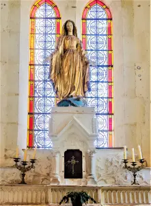
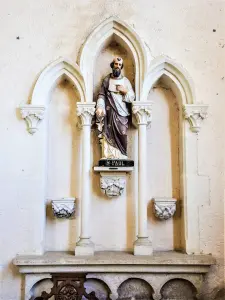
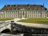
Auberive Abbey


| Municipality | Colmier-le-Haut |
|---|---|
| Postcode | 52160 |
| Latitude | 47.7810790 (N 47° 46’ 52”) |
| Longitude | 4.9661479 (E 4° 57’ 58”) |
| Surface area | 19.35 km² |
| Population | 65 inhabitants |
| Density | 3 inhabitants/km² |
| Prefecture | Chaumont (69 km, 50 min) |
| Insee code | 52138 |
| Intercommunality | CC d'Auberive Vingeanne et Montsaugeonnais |
| Department | Haute-Marne |
| Territory | Champagne-Ardenne |
| Region | Great East |
| Colmier-le-Bas | 1.5 km (3 min) |
|---|---|
| Chambain | 4.3 km (9 min) |
| Villars-Santenoge | 4.5 km (8 min) |
| Villars-Montroyer | 4.8 km (8 min) |
| Buxerolles | 4.8 km (8 min) |
| Chaugey | 4.9 km (8 min) |
| Germaines | 5.8 km (5 min) |
| Menesble | 6.1 km (8 min) |
| Gurgy-le-Château | 7.5 km (13 min) |
| Bure-les-Templiers | 8.1 km (13 min) |
| Recey-sur-Ource | 9.7 km (10 min) |
| Aulnoy-sur-Aube | 10.2 km (15 min) |
| Auberive | 10.4 km (10 min) |
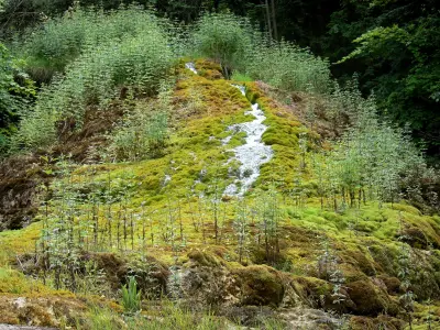
| Natural sites |
|---|


| Last name | Outing type | Difficulty | Duration | Departure municipality |
|---|---|---|---|---|
 | Hike | Easy | 3:25 | Villars-Santenoge (3.4 km) |
 | Hike | Easy | 4:10 | Villars-Santenoge (3.4 km) |
 | Cycling itinerary | Intermediate | 4:15 | Auberive (6.8 km) |
 | Cycling itinerary | Intermediate | 5:00 | Auberive (7.1 km) |
 | Cycling itinerary | Intermediate | 3:00 | Auberive (7.2 km) |


