


Favourite
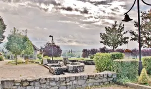
Chambéry


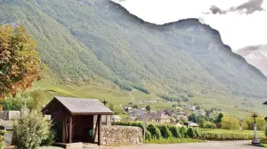
| Municipality | Chignin |
|---|---|
| Postcode | 73800 |
| Latitude | 45.5234540 (N 45° 31’ 24”) |
| Longitude | 6.0115869 (E 6° 0’ 42”) |
| Altitude | From 276m to 1254m |
| Surface area | 8.32 km² |
| Population | 953 inhabitants |
| Density | 114 inhabitants/km² |
| Prefecture | Chambéry (13.3 km, 18 min) |
| Insee code | 73084 |
| Intercommunality | CC Cœur de Savoie |
| Department | Savoie |
| Territory | Alps |
| Region | Auvergne-Rhône-Alps |
| Saint-Jeoire-Prieuré | 3.1 km (5 min) |
|---|---|
| Myans | 3.6 km (8 min) |
| Porte-de-Savoie | 4.4 km (9 min) |
| Challes-les-Eaux | 5.8 km (10 min) |
| Montmélian | 5.9 km (11 min) |
| Apremont | 6.3 km (12 min) |
| Curienne | 6.8 km (12 min) |
| La Ravoire | 6.9 km (13 min) |
| La Chavanne | 7.5 km (12 min) |
| Arbin | 7.6 km (15 min) |
| Saint-Baldoph | 8.6 km (11 min) |
| Chapareillan | 8.6 km (13 min) |
| Barby | 9 km (15 min) |
| Planaise | 9.1 km (15 min) |


| Last name | Activity type | Rate | City |
|---|---|---|---|
 | Local flavours | 38 € to 120 € | Porte-de-Savoie (2.9 km) |
 | Sports sensations | 80 € to 150 € | Aix-les-Bains (20 km) |
 | Sports sensations | 90 € to 250 € | Doussard (33 km) |
 | Sports sensations | 72 € | Alby-sur-Chéran (33 km) |
 | Sports sensations | 85 € to 150 € | Doussard (33 km) |
| Last name | Outing type | Difficulty | Duration | Departure municipality |
|---|---|---|---|---|
 | Hike | Easy | 2:30 | Saint-Pierre-d'Entremont (17.2 km) |
 | Hike | Athletic | 6:00 | Le Haut-Bréda (23 km) |
 | Hike | Intermediate | 6:00 | Lathuile (30 km) |
 | Hike | Easy | 2:00 | La Léchère (31 km) |
 | Hike | Easy | 2:00 | La Léchère (31 km) |