


Favourite
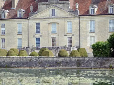
Langres
| Municipality | Chassigny |
|---|---|
| Postcode | 52190 |
| Latitude | 47.7136190 (N 47° 42’ 49”) |
| Longitude | 5.3770470 (E 5° 22’ 37”) |
| Surface area | 15.89 km² |
| Population | 261 inhabitants |
| Density | 16 inhabitants/km² |
| Prefecture | Chaumont (62 km, 48 min) |
| Insee code | 52113 |
| Intercommunality | CC d'Auberive Vingeanne et Montsaugeonnais |
| Department | Haute-Marne |
| Territory | Champagne-Ardenne |
| Region | Great East |
| Dommarien | 4.4 km (5 min) |
|---|---|
| Saint-Broingt-le-Bois | 4.8 km (7 min) |
| Heuilley-le-Grand | 5.2 km (8 min) |
| Maâtz | 6 km (7 min) |
| Villegusien-le-Lac | 6.8 km (7 min) |
| Choilley-Dardenay | 7.4 km (11 min) |
| Coublanc | 7.5 km (9 min) |
| Palaiseul | 7.7 km (11 min) |
| Grandchamp | 8.1 km (12 min) |
| Longeau | 8.6 km (7 min) |
| Longeau-Percey | 8.7 km (8 min) |
| Rivières-le-Bois | 8.8 km (15 min) |
| Le Montsaugeonnais | 8.9 km (13 min) |
| Last name | Outing type | Difficulty | Duration | Departure municipality |
|---|---|---|---|---|
 | Hike | Easy | 3:45 | Dommarien (3.9 km) |
 | Cycling itinerary | Easy | 1:45 | Dommarien (3.9 km) |
 | Cycling itinerary | Easy | 1:30 | Villegusien-le-Lac (4.5 km) |
 | Cycling itinerary | Easy | 1:45 | Villegusien-le-Lac (4.6 km) |
 | Cycling itinerary | Easy | 1:40 | Grandchamp (5.6 km) |