Favourite
Besançon
| Municipality | Champoux |
|---|---|
| Postcode | 25640 |
| Latitude | 47.3353810 (N 47° 20’ 7”) |
| Longitude | 6.1361590 (E 6° 8’ 10”) |
| Altitude | From 305m to 517m |
| Surface area | 2.98 km² |
| Population | 89 inhabitants |
| Density | 29 inhabitants/km² |
| Prefecture | Besançon (17 km, 22 min) |
| Insee code | 25117 |
| Intercommunality | CU Grand Besançon Métropole |
| Department | Doubs |
| Territories | Franche-Comté, Jura mountains |
| Region | Burgundy-Franche-Comté |
| Marchaux-Chaudefontaine | 1.6 km (3 min) |
|---|---|
| Châtillon-Guyotte | 4.8 km (9 min) |
| Vieilley | 5.8 km (10 min) |
| Corcelle-Mieslot | 5.8 km (9 min) |
| Amagney | 6.5 km (13 min) |
| Pouligney-Lusans | 6.8 km (10 min) |
| Mérey-Vieilley | 7.5 km (12 min) |
| Bonnay | 7.9 km (13 min) |
| Moncey | 7.9 km (13 min) |
| Braillans | 8.1 km (11 min) |
| Venise | 8.2 km (13 min) |
| Villers-Grélot | 8.6 km (16 min) |
| Thurey-le-Mont | 8.8 km (14 min) |
| Cromary | 8.8 km (15 min) |
| Last name | Activity type | Rate | City |
|---|---|---|---|
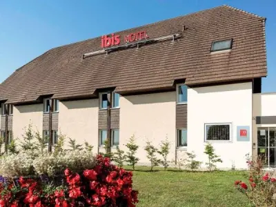
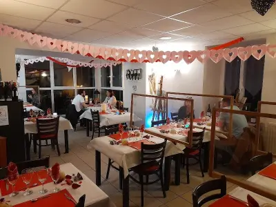
 | Entertainment | 84 € to 110 € | Besançon (13.8 km) |
| Last name | Outing type | Difficulty | Duration | Departure municipality |
|---|---|---|---|---|
 | Hike | Easy | 6:00 | Devecey (9 km) |
 | Hike | Athletic | 5:05 | Fretigney-et-Velloreille (22 km) |
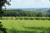 | Hike | Intermediate | 1:20 | Bucey-lès-Gy (23 km) |
 | Hike | Easy | 2:35 | Bucey-lès-Gy (24 km) |
 | Hike | Intermediate | 3:10 | Gy (25 km) |