


Favourite
Malicorne earthenware
| Municipality | Bousse |
|---|---|
| Postcode | 72270 |
| Latitude | 47.7691430 (N 47° 46’ 9”) |
| Longitude | -0.0594220 (W 0° 3’ 34”) |
| Altitude | From 39m to 103m |
| Surface area | 12.02 km² |
| Population | 437 inhabitants |
| Density | 36 inhabitants/km² |
| Prefecture | Le Mans (36 km, 40 min) |
| Insee code | 72044 |
| Intercommunality | CC du Pays Fléchois |
| Department | Sarthe |
| Territory | Maine |
| Region | Pays de la Loire |
| Villaines-sous-Malicorne | 3.5 km (6 min) |
|---|---|
| Courcelles-la-Forêt | 4.8 km (8 min) |
| Arthezé | 6.1 km (9 min) |
| Ligron | 7 km (11 min) |
| Malicorne-sur-Sarthe | 7.6 km (8 min) |
| Mézeray | 7.8 km (9 min) |
| Crosmières | 8.6 km (12 min) |
| La Flèche | 10.1 km (13 min) |
| Le Bailleul | 10.2 km (14 min) |
| Clermont-Créans | 11.1 km (13 min) |
| La Fontaine-Saint-Martin | 12 km (12 min) |
| Saint-Jean-de-la-Motte | 12.5 km (18 min) |
| Mareil-sur-Loir | 14.4 km (17 min) |
| Noyen-sur-Sarthe | 14.8 km (17 min) |
| Last name | Activity type | Rate | City |
|---|---|---|---|
 | Entertainment | 26 € | La Flèche (10.2 km) |
 | Culture and education | 17 € | Angers (50 km) |
| Last name | Outing type | Difficulty | Duration | Departure municipality |
|---|---|---|---|---|
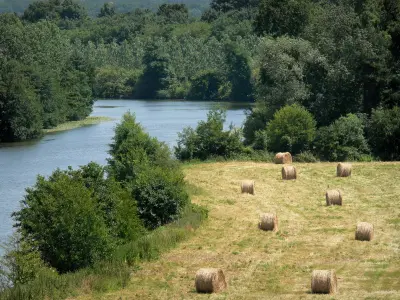
 | Hike | Easy | 20 min | Durtal (17.6 km) |
 | Hike | Easy | 3:30 | Coulongé (21 km) |
 | Village visit | Easy | 1:15 | Mayet (25 km) |
 | Hike | Easy | 2:20 | La Chapelle-aux-Choux (27 km) |
 | Hike | Easy | 2:30 | Verneil-le-Chétif (27 km) |


