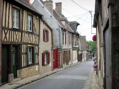
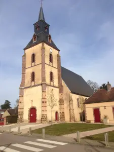
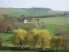
Belhomert-Guéhouville is a village near the Regional Natural Park of Perche. The people of Belhomert are called Belhomertois and Belhomertoises.


Favourite
Belhomert-Guéhouville is a village near the Regional Natural Park of Perche. The people of Belhomert are called Belhomertois and Belhomertoises.
| Municipality | Belhomert-Guéhouville |
|---|---|
| Postcode | 28240 |
| Latitude | 48.5006460 (N 48° 30’ 2”) |
| Longitude | 1.0374550 (E 1° 2’ 15”) |
| Altitude | From 182m to 271m |
| Surface area | 10.95 km² |
| Population | 829 inhabitants |
| Density | 75 inhabitants/km² |
| Prefecture | Chartres (36 km, 40 min) |
| Insee code | 28033 |
| Intercommunality | CC Terres de Perche |
| Department | Eure-et-Loir |
| Territory | Perche |
| Region | Centre-Loire Valley |
| Fontaine-Simon | 2 km (4 min) |
|---|---|
| Saint-Maurice-Saint-Germain | 4.1 km (8 min) |
| Meaucé | 4.3 km (8 min) |
| La Loupe | 5 km (8 min) |
| Manou | 5.5 km (8 min) |
| Vaupillon | 7 km (12 min) |
| Saint-Éliph | 7.4 km (10 min) |
| Senonches | 8.7 km (12 min) |
| Le Pas-Saint-l'Homer | 9.2 km (12 min) |
| Digny | 10.6 km (10 min) |
| Les Menus | 10.6 km (12 min) |
| La Madeleine-Bouvet | 11.8 km (12 min) |
| Pontgouin | 11.9 km (15 min) |
| Le Favril | 11.9 km (16 min) |
| Last name | Activity type | Rate | City |
|---|---|---|---|
 | Sports sensations | 22 € to 75 € | Fontaine-Simon (1.8 km) |
| Last name | Outing type | Difficulty | Duration | Departure municipality |
|---|---|---|---|---|
 | Hike | Intermediate | 2:45 | Nonvilliers-Grandhoux (19.9 km) |
 | Hike | Easy | 3:15 | Anet (49 km) |
 | All-terrain bike itinerary | Easy | 1:45 | Anet (49 km) |
 | Hike | Easy | 3:00 | Anet (49 km) |
 | Hike | Easy | 4:00 | Anet (49 km) |