


Favourite
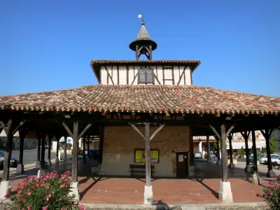
Mauvezin
| Municipality | Aubiet |
|---|---|
| Postcode | 32270 |
| Latitude | 43.6466210 (N 43° 38’ 48”) |
| Longitude | 0.7838460 (E 0° 47’ 2”) |
| Altitude | From 138m to 233m |
| Surface area | 38.96 km² |
| Population | 1147 inhabitants |
| Density | 29 inhabitants/km² |
| Prefecture | Auch (19.9 km, 27 min) |
| Insee code | 32012 |
| Intercommunality | CC des Coteaux Arrats Gimone |
| Department | Gers |
| Territories | Gascony, Midi-Pyrénées |
| Region | Occitanie |
| Blanquefort | 4.5 km (7 min) |
|---|---|
| L'Isle-Arné | 5 km (9 min) |
| Marsan | 6.4 km (8 min) |
| Lussan | 7.3 km (11 min) |
| Ansan | 7.5 km (11 min) |
| Saint-Sauvy | 7.5 km (9 min) |
| Nougaroulet | 8.3 km (14 min) |
| Saint-Caprais | 8.3 km (13 min) |
| Gimont | 8.6 km (9 min) |
| Lahitte | 9.9 km (13 min) |
| Juilles | 10.2 km (14 min) |
| Castelnau-Barbarens | 11.3 km (14 min) |
| Bédéchan | 11.4 km (16 min) |
| Sainte-Marie | 12 km (12 min) |
| Transport |
|---|
| Last name | Outing type | Difficulty | Duration | Departure municipality |
|---|---|---|---|---|
 | Hike | Intermediate | 3:25 | Castelnau-Barbarens (9.2 km) |
 | Hike | Easy | 35 min | Lombez (22 km) |
 | Hike | Easy | 2:30 | Bazian (37 km) |
 | All-terrain bike itinerary | Easy | 50 min | Castelsarrasin (51 km) |
 | All-terrain bike itinerary | Intermediate | 6:45 | Valence (52 km) |


