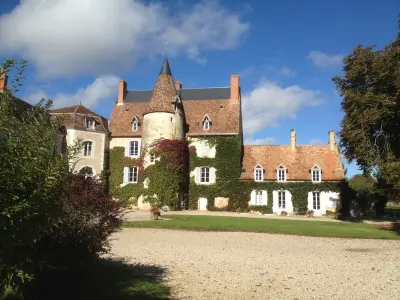


Favourite
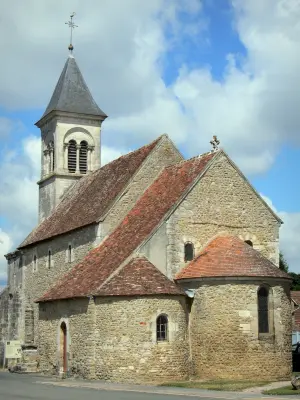
Saint-Martin de Vic church
| Municipality | Ambrault |
|---|---|
| Postcode | 36120 |
| Latitude | 46.7857470 (N 46° 47’ 9”) |
| Longitude | 1.9611990 (E 1° 57’ 40”) |
| Altitude | From 143m to 206m |
| Surface area | 25.59 km² |
| Population | 909 inhabitants |
| Density | 35 inhabitants/km² |
| Prefecture | Châteauroux (25 km, 29 min) |
| Insee code | 36003 |
| Intercommunality | CC Champagne Boischauts |
| Department | Indre |
| Territory | Berry |
| Region | Centre-Loire Valley |
| Bommiers | 2.6 km (6 min) |
|---|---|
| Vouillon | 5.5 km (6 min) |
| Sassierges-Saint-Germain | 6.1 km (10 min) |
| Meunet-Planches | 6.1 km (7 min) |
| Saint-Août | 6.3 km (5 min) |
| Brives | 7 km (8 min) |
| Pruniers | 7.6 km (9 min) |
| Mâron | 7.9 km (12 min) |
| Ardentes | 12 km (16 min) |
| Condé | 12.8 km (14 min) |
| Saint-Aubin | 13 km (18 min) |
| Sainte-Fauste | 13.5 km (14 min) |
| Chezal-Benoît | 14.5 km (18 min) |
| Saint-Chartier | 16.2 km (14 min) |
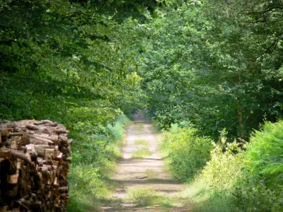
| Natural sites |
|---|
| Last name | Activity type | Rate | City |
|---|---|---|---|
 | Entertainment | 75 € to 120 € | Issoudun (18.2 km) |
| Last name | Outing type | Difficulty | Duration | Departure municipality |
|---|---|---|---|---|
 | Hike | Easy | 2:00 | Quincy (42 km) |
 | Hike | Easy | 3:00 | Moutier-Malcard (44 km) |
 | Village visit | Easy | 2:00 | Mennetou-sur-Cher (54 km) |
 | Car itinerary | Easy | 45 min | Saint-Sébastien (55 km) |