

Favourite
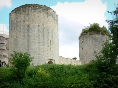
The Commandery and Collegiate Church of Saint-Marc-la-Lande
| Municipality | Allonne |
|---|---|
| Postcode | 79130 |
| Latitude | 46.5823680 (N 46° 34’ 57”) |
| Longitude | -0.3824000 (W 0° 22’ 57”) |
| Altitude | From 145m to 234m |
| Surface area | 22.98 km² |
| Population | 673 inhabitants |
| Density | 29 inhabitants/km² |
| Prefecture | Niort (36 km, 38 min) |
| Insee code | 79007 |
| Intercommunality | CC de Parthenay-Gâtine |
| Department | Deux-Sèvres |
| Territory | Poitou |
| Region | New-Aquitaine |
| La Boissière-en-Gâtine | 4.1 km (10 min) |
|---|---|
| Secondigny | 4.9 km (6 min) |
| Le Retail | 6.2 km (10 min) |
| Saint-Pardoux-Soutiers | 6.4 km (10 min) |
| Azay-sur-Thouet | 8.6 km (8 min) |
| Mazières-en-Gâtine | 9 km (13 min) |
| Les Groseillers | 9 km (11 min) |
| Pamplie | 9.2 km (15 min) |
| Le Tallud | 9.4 km (13 min) |
| Pougne-Hérisson | 10.3 km (15 min) |
| Saint-Marc-la-Lande | 11 km (16 min) |
| Cours | 11.9 km (12 min) |
| Saint-Aubin-le-Cloud | 12.1 km (13 min) |
| Verruyes | 12.2 km (17 min) |
| Monuments |
|---|
| Last name | Outing type | Difficulty | Duration | Departure municipality |
|---|---|---|---|---|
 | Hike | Intermediate | 3:45 | Saint-Michel-le-Cloucq (30 km) |
 | Hike | Easy | 1:05 | Le Gué-de-Velluire (48 km) |
 | Hike | Easy | 1:05 | La Taillée (48 km) |
 | Hike | Easy | 1:00 | La Taillée (48 km) |
| Hike | Easy | 1:30 | Les Epesses (52 km) |