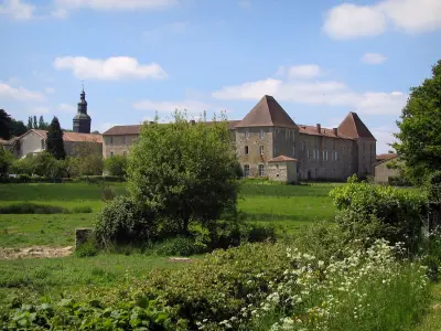
Chapel of Our Lady of Vaulry.


Favourite
| Municipality | Vaulry |
|---|---|
| Postcode | 87140 |
| Latitude | 46.0225500 (N 46° 1’ 21”) |
| Longitude | 1.0847590 (E 1° 5’ 5”) |
| Altitude | From 233m to 502m |
| Surface area | 16.03 km² |
| Population | 414 inhabitants |
| Density | 25 inhabitants/km² |
| Prefecture | Limoges (34 km, 35 min) |
| Insee code | 87198 |
| Intercommunality | CC Élan Limousin Avenir Nature |
| Department | Haute-Vienne |
| Territory | Limousin |
| Region | New-Aquitaine |
| Breuilaufa | 3.5 km (6 min) |
|---|---|
| Chamboret | 4.9 km (6 min) |
| Cieux | 5.9 km (10 min) |
| Blond | 7.1 km (10 min) |
| Berneuil | 8 km (11 min) |
| Nantiat | 8.5 km (12 min) |
| Saint-Junien-les-Combes | 10.3 km (15 min) |
| Saint-Pardoux-le-Lac | 12.6 km (21 min) |
| Mortemart | 12.6 km (18 min) |
| Javerdat | 12.8 km (17 min) |
| Peyrilhac | 12.9 km (16 min) |
| Montrol-Sénard | 13.2 km (18 min) |
| Thouron | 13.2 km (17 min) |
| Le Buis | 13.3 km (18 min) |
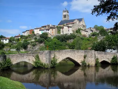
Chapel of Our Lady of Vaulry.
| Transport |
|---|
| Last name | Outing type | Difficulty | Duration | Departure municipality |
|---|---|---|---|---|
 | Hike | Intermediate | 4:15 | Montrol-Sénard (9.8 km) |
 | Hike | Easy | 6:00 | Razès (19.4 km) |
 | Hike | Easy | 4:00 | Saint-Léger-la-Montagne (26 km) |
 | Hike | Easy | 4:00 | Gorre (32 km) |
 | Hike | Intermediate | 3:55 | Mouterre-sur-Blourde (33 km) |