Favourite
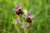
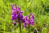
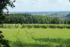
The Ognon Valley
| Municipality | Tromarey |
|---|---|
| Postcode | 70150 |
| Latitude | 47.3376760 (N 47° 20’ 16”) |
| Longitude | 5.7192400 (E 5° 43’ 9”) |
| Altitude | From 231m to 329m |
| Surface area | 6.12 km² |
| Population | 115 inhabitants |
| Density | 18 inhabitants/km² |
| Prefecture | Vesoul (51 km, 48 min) |
| Insee code | 70509 |
| Intercommunality | CC du Val Marnaysien |
| Department | Haute-Saône |
| Territory | Franche-Comté |
| Region | Burgundy-Franche-Comté |
| Bonboillon | 1.5 km (4 min) |
|---|---|
| Cugney | 3.5 km (9 min) |
| Cult | 3.8 km (6 min) |
| Chancey | 5.2 km (7 min) |
| Venère | 5.3 km (6 min) |
| Hugier | 5.7 km (9 min) |
| Bay | 6.9 km (10 min) |
| Avrigney-Virey | 7 km (10 min) |
| Charcenne | 7.6 km (9 min) |
| Champtonnay | 7.8 km (8 min) |
| Marnay | 8.7 km (10 min) |
| Choye | 8.8 km (12 min) |
| Cresancey | 9.2 km (10 min) |
| Chenevrey-et-Morogne | 9.2 km (9 min) |
| Last name | Activity type | Rate | City |
|---|---|---|---|
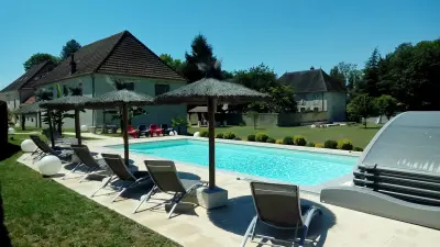
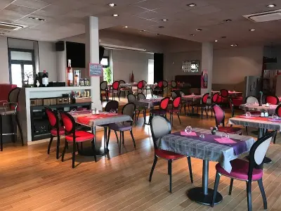
 | Entertainment | 84 € to 110 € | Besançon (26 km) |
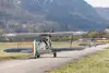 | Sports sensations | 99 € to 299 € | Dole (39 km) |
| Last name | Outing type | Difficulty | Duration | Departure municipality |
|---|---|---|---|---|
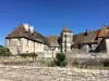 | Hike | Intermediate | 3:10 | Gy (10.2 km) |
 | Hike | Easy | 1:50 | Gy (10.2 km) |
 | Hike | Intermediate | 2:30 | Gy (10.2 km) |
 | Hike | Intermediate | 1:20 | Bucey-lès-Gy (13.2 km) |
 | Hike | Easy | 2:35 | Bucey-lès-Gy (13.2 km) |