


Favourite
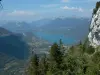
Lake Annecy
| Municipality | Serraval |
|---|---|
| Postcode | 74230 |
| Latitude | 45.8027810 (N 45° 48’ 10”) |
| Longitude | 6.3400020 (E 6° 20’ 24”) |
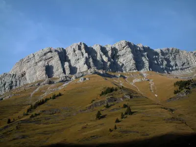
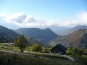
| Altitude | From 626m to 2200m |
| Surface area | 19.73 km² |
| Population | 774 inhabitants |
| Density | 39 inhabitants/km² |
| Prefecture | Annecy (31 km, 38 min) |
| Insee code | 74265 |
| Intercommunality | CC des Vallées de Thônes |
| Department | Haute-Savoie |
| Territory | Alps |
| Region | Auvergne-Rhône-Alps |
| Le Bouchet-Mont-Charvin | 3.6 km (6 min) |
|---|---|
| Les Clefs | 6.9 km (10 min) |
| Saint-Ferréol | 7.4 km (10 min) |
| Thônes | 9.8 km (14 min) |
| Faverges-Seythenex | 10.4 km (19 min) |
| Val de Chaise | 11.3 km (18 min) |
| Manigod | 11.7 km (17 min) |
| Les Villards-sur-Thônes | 13.9 km (19 min) |
| Giez | 14.2 km (21 min) |
| La Balme-de-Thuy | 14.4 km (21 min) |
| Doussard | 17 km (21 min) |
| Chevaline | 17.1 km (23 min) |
| Alex | 17.7 km (23 min) |
| Saint-Jean-de-Sixt | 18.2 km (22 min) |
| Last name | Activity type | Rate | City |
|---|---|---|---|
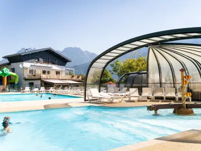
 | Sports sensations | 85 € to 190 € | Doussard (9.1 km) |
 | Sports sensations | 55 € | Talloires-Montmin (9.1 km) |
 | Sports sensations | 85 € to 150 € | Doussard (9.4 km) |
 | Sports sensations | 90 € to 250 € | Doussard (10 km) |
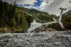 | Sports sensations | 600 € | Les Saisies (16 km) |
| Last name | Outing type | Difficulty | Duration | Departure municipality |
|---|---|---|---|---|
 | Hike | Intermediate | 3:30 | Lathuile (10.9 km) |
 | Hike | Intermediate | 6:00 | Lathuile (12.2 km) |
 | Hike | Easy | 40 min | Combloux (26 km) |
 | Hike | Easy | 2:45 | Combloux (26 km) |
 | Snowshoe hike | Easy | 1:30 | Combloux (26 km) |