


Favourite
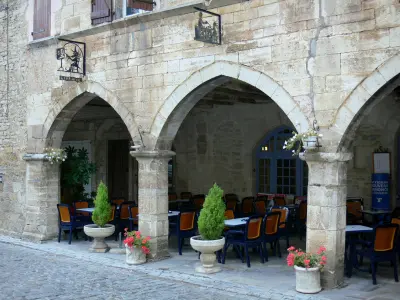
Villeneuve d'Aveyron
| Municipality | Sainte-Croix |
|---|---|
| Postcode | 12260 |
| Latitude | 44.4267040 (N 44° 25’ 36”) |
| Longitude | 1.9678690 (E 1° 58’ 4”) |
| Altitude | From 312m to 441m |
| Surface area | 25.88 km² |
| Population | 764 inhabitants |
| Density | 29 inhabitants/km² |
| Prefecture | Rodez (57 km, 1:03) |
| Insee code | 12217 |
| Intercommunality | CC Ouest Aveyron Communauté |
| Department | Aveyron |
| Territories | Massif Central, Midi-Pyrénées |
| Region | Occitanie |
| La Capelle-Balaguier | 4.3 km (7 min) |
|---|---|
| Villeneuve | 6.9 km (10 min) |
| Toulonjac | 7.6 km (9 min) |
| Ols-et-Rinhodes | 7.9 km (11 min) |
| Martiel | 9 km (13 min) |
| Montsalès | 11.2 km (16 min) |
| Saint-Rémy | 11.2 km (13 min) |
| Saint-Igest | 12.7 km (18 min) |
| Saujac | 12.8 km (18 min) |
| Salles-Courbatiès | 12.9 km (19 min) |
| Villefranche-de-Rouergue | 13.2 km (19 min) |
| Savignac | 13.3 km (17 min) |
| Ambeyrac | 13.4 km (17 min) |
| Salvagnac-Cajarc | 15.5 km (19 min) |
| Last name | Activity type | Rate | City |
|---|---|---|---|
 | Local flavours | 7 € to 12 € | Limogne-en-Quercy (16.5 km) |
 | Nature and the great outdoors | 25 € to 60 € | Laburgade (35 km) |
 | Nature and the great outdoors | 20 € | Clairvaux-d'Aveyron (35 km) |
| Last name | Outing type | Difficulty | Duration | Departure municipality |
|---|---|---|---|---|
 | Hike | Intermediate | 3:15 | Limogne-en-Quercy (15.7 km) |
 | Hike | Easy | 1:30 | Capdenac-Gare (16.1 km) |
| Hike | Easy | 2:00 | Figeac (21 km) |
 | All-terrain bike itinerary | Intermediate | 1:50 | Caylus (27 km) |
 | Hike | Easy | 1:30 | Caylus (27 km) |


