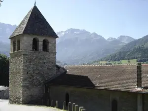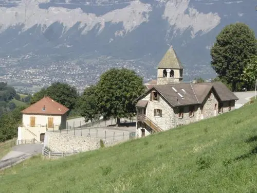


Sainte-Agnès is a town in the Isère department, in the Auvergne-Rhône-Alpes region, 27 km north-east of Grenoble.
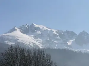
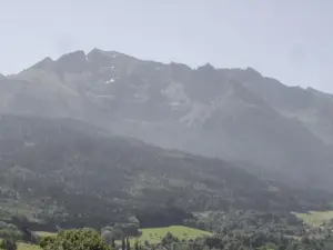
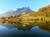
Its vast territory of nearly 27 km² extends from 270 to 2977 m above sea level, spanning the balconies of the Belledonne range, of which the Grand Pic, its highest point, dominates the town to the south.
The village itself has developed in the valley carved out by the course of the Vorz torrent, laterally to that of Grésivaudan linking Grenoble to Pontcharra and Chambéry.
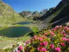
Covered for nearly half of its area by forests (43% of land), natural environments and meadows (55%), Sainte-Agnès which has nearly 580 inhabitants highlights its natural high mountain environment and its cultural leisure activities. A treat for lovers of hiking, green spaces and fresh air!