


Favourite
Malicorne earthenware
| Municipality | Saint-Jean-du-Bois |
|---|---|
| Postcode | 72430 |
| Latitude | 47.8725130 (N 47° 52’ 21”) |
| Longitude | -0.0422100 (W 0° 2’ 32”) |
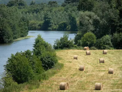
| Altitude | From 34m to 73m |
| Surface area | 14.62 km² |
| Population | 620 inhabitants |
| Density | 42 inhabitants/km² |
| Prefecture | Le Mans (27 km, 33 min) |
| Insee code | 72293 |
| Intercommunality | CC du Val de Sarthe |
| Department | Sarthe |
| Territory | Maine |
| Region | Pays de la Loire |
| Fercé-sur-Sarthe | 4.3 km (10 min) |
|---|---|
| Noyen-sur-Sarthe | 5.3 km (8 min) |
| La Suze-sur-Sarthe | 6.2 km (11 min) |
| Mézeray | 7.3 km (13 min) |
| Chemiré-le-Gaudin | 8 km (14 min) |
| Malicorne-sur-Sarthe | 8.6 km (12 min) |
| Tassé | 8.8 km (12 min) |
| Pirmil | 9.9 km (14 min) |
| Roëzé-sur-Sarthe | 10.1 km (15 min) |
| Maigné | 10.7 km (17 min) |
| Arthezé | 12.7 km (16 min) |
| Chantenay-Villedieu | 13.2 km (18 min) |
| Louplande | 13.2 km (19 min) |
| Courcelles-la-Forêt | 13.7 km (20 min) |
| Last name | Activity type | Rate | City |
|---|---|---|---|
 | Entertainment | 26 € | La Flèche (22 km) |
| Last name | Outing type | Difficulty | Duration | Departure municipality |
|---|---|---|---|---|
 | Village visit | Easy | 1:15 | Mayet (27 km) |
 | Hike | Easy | 20 min | Durtal (27 km) |
 | Hike | Easy | 3:30 | Coulongé (27 km) |
 | Hike | Easy | 2:30 | Verneil-le-Chétif (30 km) |
| Hike | Easy | 3:00 | Saint-Denis-d'Anjou (31 km) |


