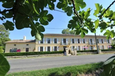
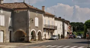
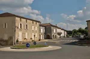
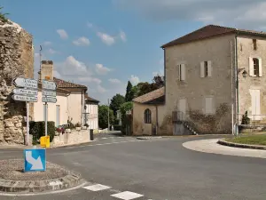
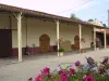
Pujols is located on the plateau above the alluvial plain of the Dordogne, but has no outlet to the River. The name is perhaps from the Celtic "Pujols" which meant a high place.


Favourite


Pujols is located on the plateau above the alluvial plain of the Dordogne, but has no outlet to the River. The name is perhaps from the Celtic "Pujols" which meant a high place.
| Municipality | Pujols |
|---|---|
| Postcode | 33350 |
| Latitude | 44.8083880 (N 44° 48’ 30”) |
| Longitude | -0.0313280 (W 0° 1’ 53”) |
| Altitude | From 9m to 98m |
| Surface area | 7.40 km² |
| Population | 532 inhabitants |
| Density | 71 inhabitants/km² |
| Prefecture | Bordeaux (56 km, 57 min) |
| Insee code | 33344 |
| Intercommunality | CC Castillon/Pujols |
| Department | Gironde |
| Territory | Aquitaine |
| Region | New-Aquitaine |
| Bossugan | 2.7 km (4 min) |
|---|---|
| Doulezon | 3.4 km (6 min) |
| Saint-Pey-de-Castets | 4.4 km (8 min) |
| Ruch | 4.8 km (9 min) |
| Mouliets-et-Villemartin | 5 km (11 min) |
| Sainte-Radegonde | 6 km (9 min) |
| Castillon-la-Bataille | 6.2 km (7 min) |
| Sainte-Florence | 6.4 km (10 min) |
| Juillac | 7.3 km (10 min) |
| Saint-Antoine-du-Queyret | 7.8 km (11 min) |
| Mérignas | 8.5 km (11 min) |
| Blasimon | 8.7 km (11 min) |
| Flaujagues | 8.7 km (13 min) |
| Mauriac | 9 km (15 min) |
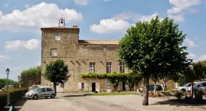
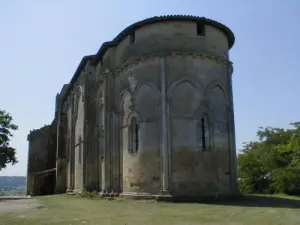
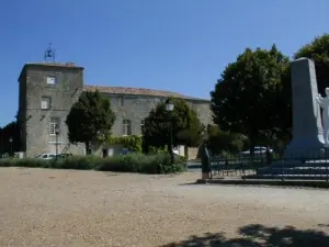
| Monuments |
|---|


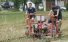
Circuit hiking and tennis.
| Last name | Activity type | Rate | City |
|---|---|---|---|
 | Sports sensations | 12 € to 20 € | Pessac-sur-Dordogne (8.8 km) |
 | Nature and the great outdoors | 10 € to 50 € | Port-Sainte-Foy-et-Ponchapt (19.3 km) |
 | Local flavours | Free | Saint-Médard-de-Guizières (23 km) |
 | Sports sensations | 80 € to 225 € | La Réole (27 km) |
 | Nature and the great outdoors | 35 € | Guîtres (29 km) |
| Last name | Outing type | Difficulty | Duration | Departure municipality |
|---|---|---|---|---|
 | Hike | Easy | 2:30 | Bossugan (2.2 km) |
 | All-terrain bike itinerary | Intermediate | 1:30 | Saint-Émilion (13.7 km) |
 | Hike | Easy | 1:00 | Sablons (27 km) |
 | All-terrain bike itinerary | Easy | 45 min | Marcenais (37 km) |
 | Cycling itinerary | Easy | 8:00 | Le Nizan (41 km) |