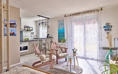
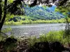
Horse riding or pony to explore the surroundings, from the equestrian center Near the Grange...


Favourite


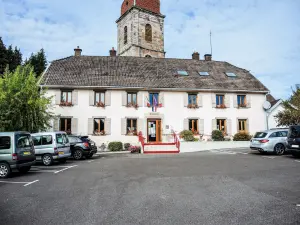
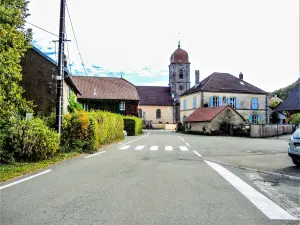
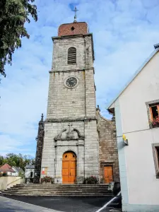
| Municipality | Plancher-Bas |
|---|---|
| Postcode | 70290 |
| Latitude | 47.7205350 (N 47° 43’ 14”) |
| Longitude | 6.7323550 (E 6° 43’ 56”) |
| Altitude | From 366m to 850m |
| Surface area | 29.12 km² |
| Population | 1907 inhabitants |
| Density | 65 inhabitants/km² |
| Prefecture | Vesoul (52 km, 52 min) |
| Insee code | 70413 |
| Intercommunality | CC Rahin et Chérimont |
| Department | Haute-Saône |
| Territory | Franche-Comté |
| Region | Burgundy-Franche-Comté |
| Auxelles-Bas | 5.1 km (8 min) |
|---|---|
| Plancher-les-Mines | 5.2 km (8 min) |
| Champagney | 5.6 km (8 min) |
| Auxelles-Haut | 6.9 km (10 min) |
| Errevet | 8 km (12 min) |
| Échavanne | 8.4 km (12 min) |
| Frahier-et-Chatebier | 8.7 km (11 min) |
| Giromagny | 9.3 km (13 min) |
| Lachapelle-sous-Chaux | 9.6 km (13 min) |
| Ronchamp | 9.8 km (13 min) |
| Belfahy | 10.7 km (15 min) |
| Vescemont | 11 km (16 min) |
| Chaux | 11.3 km (15 min) |
| Chenebier | 11.4 km (14 min) |
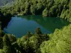
Horse riding or pony to explore the surroundings, from the equestrian center Near the Grange...


| Last name | Activity type | Rate | City |
|---|---|---|---|
 | Culture and education | 11 € | Le Thillot (17.3 km) |
 | Arts and Crafts | 12 € | Basse-sur-le-Rupt (30 km) |
 | Entertainment | Free | Xonrupt-Longemer (43 km) |
| Last name | Outing type | Difficulty | Duration | Departure municipality |
|---|---|---|---|---|
 | Hike | Easy | 1:00 | Sewen (16.2 km) |
 | Hike | Intermediate | 2:30 | Kirchberg (19 km) |
 | Hike | Intermediate | 4:40 | Rimbach-près-Masevaux (20 km) |
 | Village visit | Easy | 1:00 | Masevaux-Niederbruck (21 km) |
 | Hike | Intermediate | 3:00 | Masevaux-Niederbruck (21 km) |